![Request for Information – Potential [Placeholder for Prize]](https://assets.science.nasa.gov/dynamicimage/assets/science/missions/a-step/FFR_Earth_Background_20251120%20.png?w=1024)


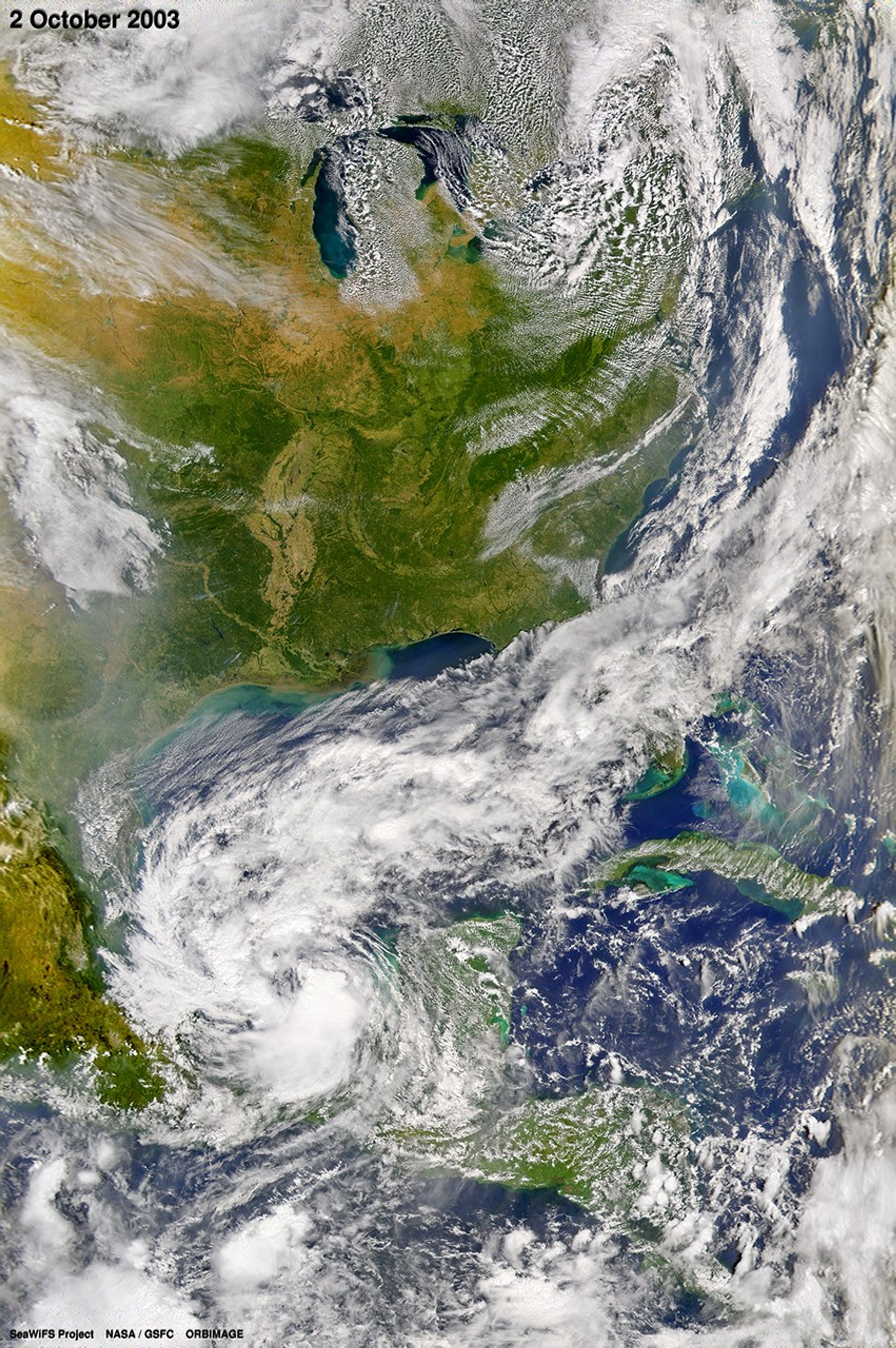
The twelfth named storm of the Atlantic hurricane season—Tropical Storm Larry—formed in the Gulf of Mexico, on Oct. 1, 2003, due west of the Yucatan Peninsula. The storm gained in intensity in its first 24 hours so that on Oct. 2 it contained maximum sustained winds of 120 km (75 miles) per hour. Hemmed in between two high-pressure ridges, Larry has been tracking slowly southward toward Mexico. The storm is expected to make landfall in Mexico some time within the next 24 to 48 hours. Larry is not predicted to attain hurricane status.
This true-color image of Tropical Storm Larry was acquired on Oct. 2, 2003, by the Sea-viewing Wide Field-of-view Sensor.
References & Resources
Image courtesy the SeaWiFS Project, NASA/Goddard Space Flight Center, and ORBIMAGE