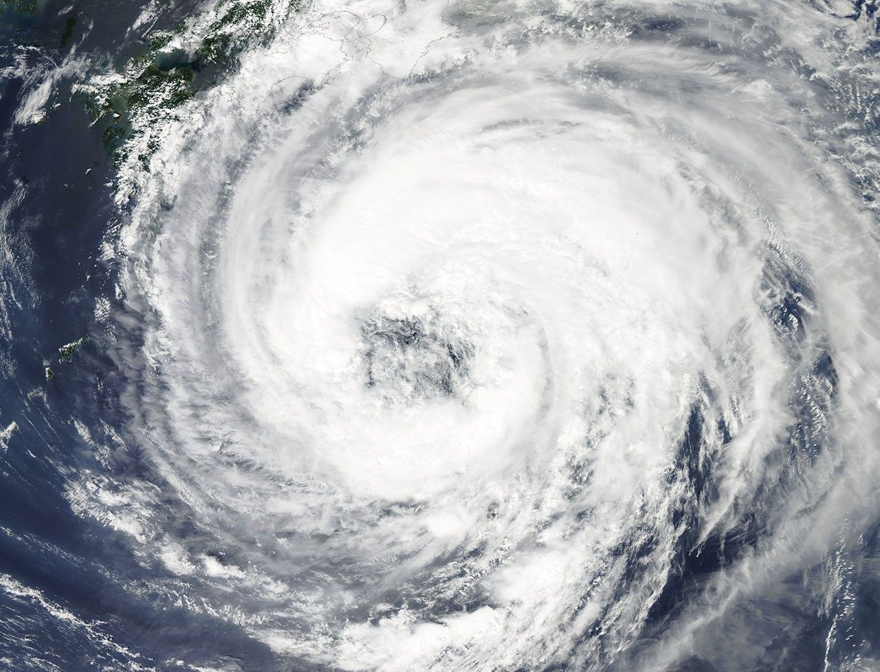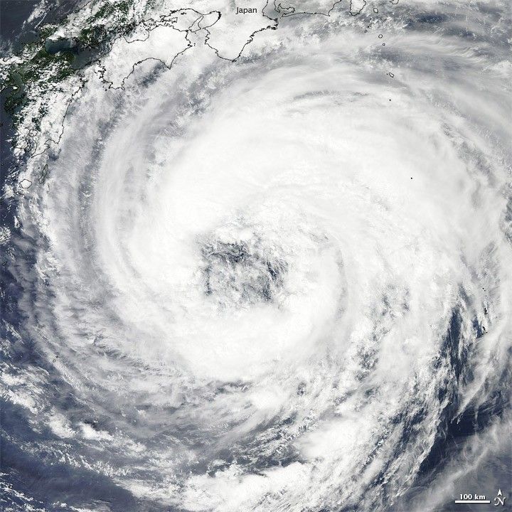
Tropical Storm Talas formed over the western Pacific Ocean on August 25, 2011. By September 1, storm clouds had reached the southern shores of Japan. The Moderate Resolution Imaging Spectroradiometer (MODIS) on NASA’s Aqua satellite took this picture of the storm the same day.
As of 6:00 p.m. Tokyo time on September 1, 2011, the U.S. Navy’s Joint Typhoon Warning Center (JTWC) reported that Talas had maximum sustained winds of 55 knots (100 kilometers per hour) and gusts up to 70 knots (130 kilometers per hour). The storm was located roughly 405 nautical miles (750 kilometers) south of Kyoto.
The JTWC described Talas as a puzzling storm: “The analysis continues to reveal an unusual upper-level pattern with an upper low over the center and anticyclonic flow around the periphery.” Different models of the storm were in poor agreement, but the JTWC forecast that Talas would likely travel northward and weaken as it passed over Japan.
References & Resources
- Joint Typhoon Warning Center. (2011, September 1). Tropical Storm 15W (Talas) Warning. Accessed September 1, 2011.
- Unisys. (2011, September 1). Nanmadol Tracking Information. Accessed September 1, 2011.
NASA image courtesy MODIS Rapid Response Team at NASA GSFC. Caption by Michon Scott.