


- High-resolution images:
- Wide area view, December 29, 2004 (2.2 MB JPEG)
- Wide area view, December 13, 2004 (2.6 MB JPEG)
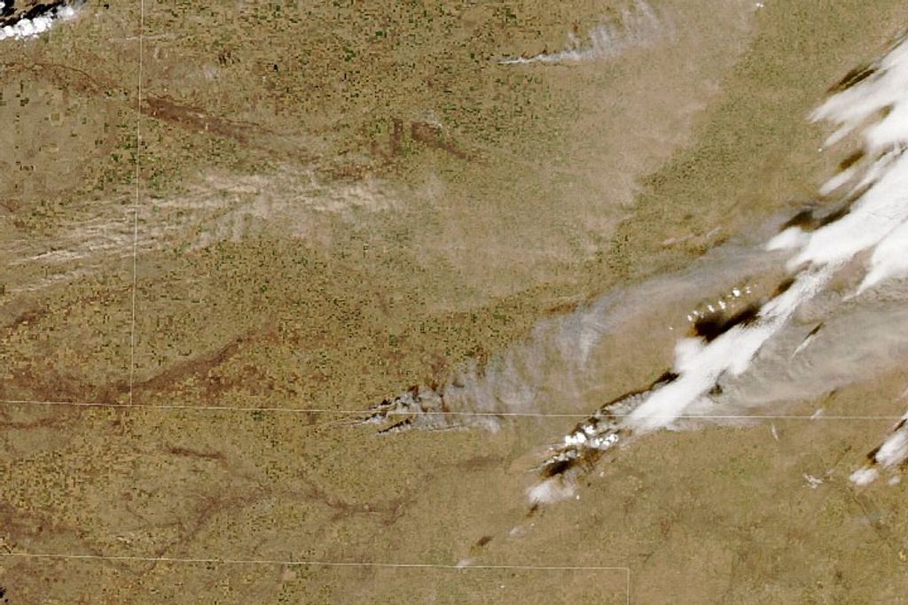
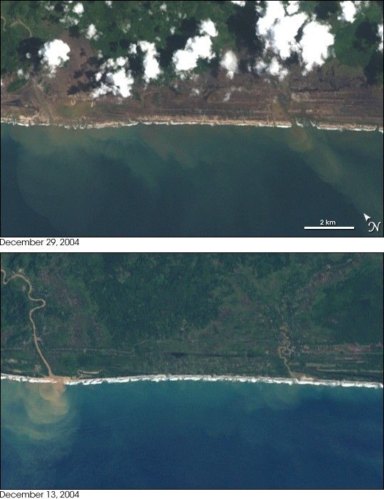
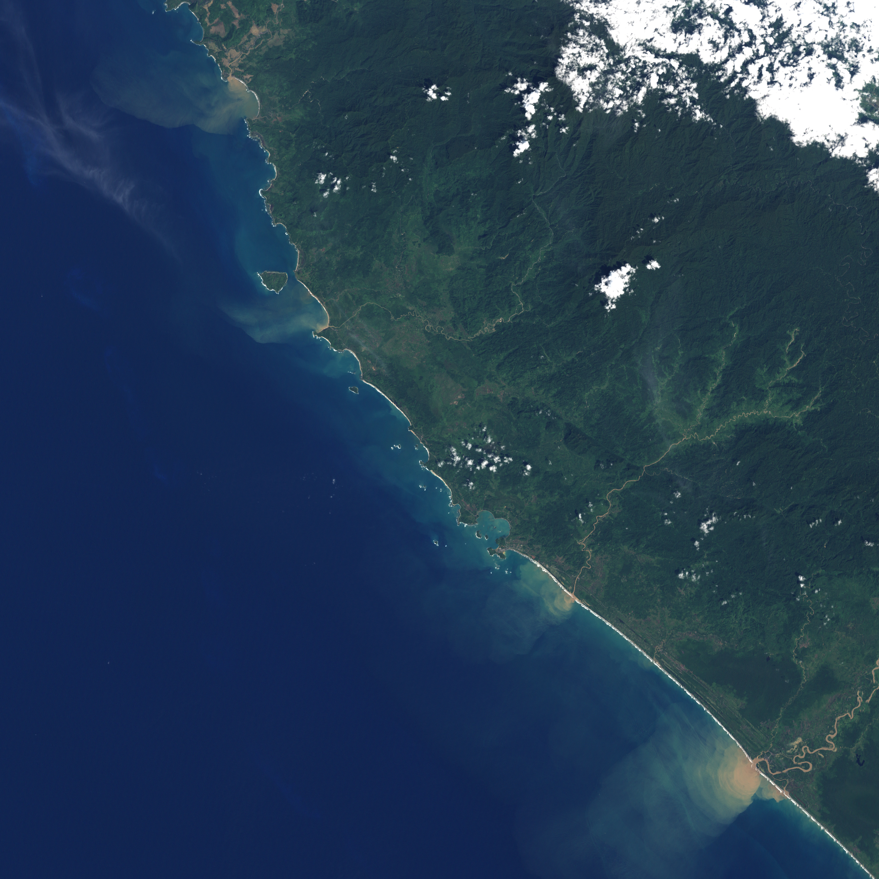
The island of Sumatra suffered from both the rumblings of the submarine earthquake and the tsunamis that were generated on December 26, 2004. Within minutes of the quake, the sea surged ashore, bringing destruction to the coasts of northern Sumatra.
This pair of natural-color images from Landsat 7’s Enhanced Thematic Mapper Plus (ETM+) instrument shows a small area along the Sumatran coast in Aceh province where the tsunami smashed its way ashore. In this region, the wave cut a swath of near-total destruction 1.5 kilometers (roughly one mile) in most places, but penetrating farther in many others. Some of these deeper paths of destruction can be seen especially dramatically in the larger-area ETM+ images linked to above. (North is up in these larger images.)
ETM+ collects data at roughly 30 meter resolution, complimenting sensors like NASA’s MODIS (onboard both Terra and Aqua satellites) which observed this areaat 250-meter resolution to give a wide view and ultra-high-resolution sensors like Space Imaging’s IKONOS, which observed the same regionat 4-meter resolution to give a detailed, smaller-area view.
References & Resources
NASA images created by Jesse Allen, Earth Observatory, using data provided courtesy of the Landsat 7 Science Project Office
None


