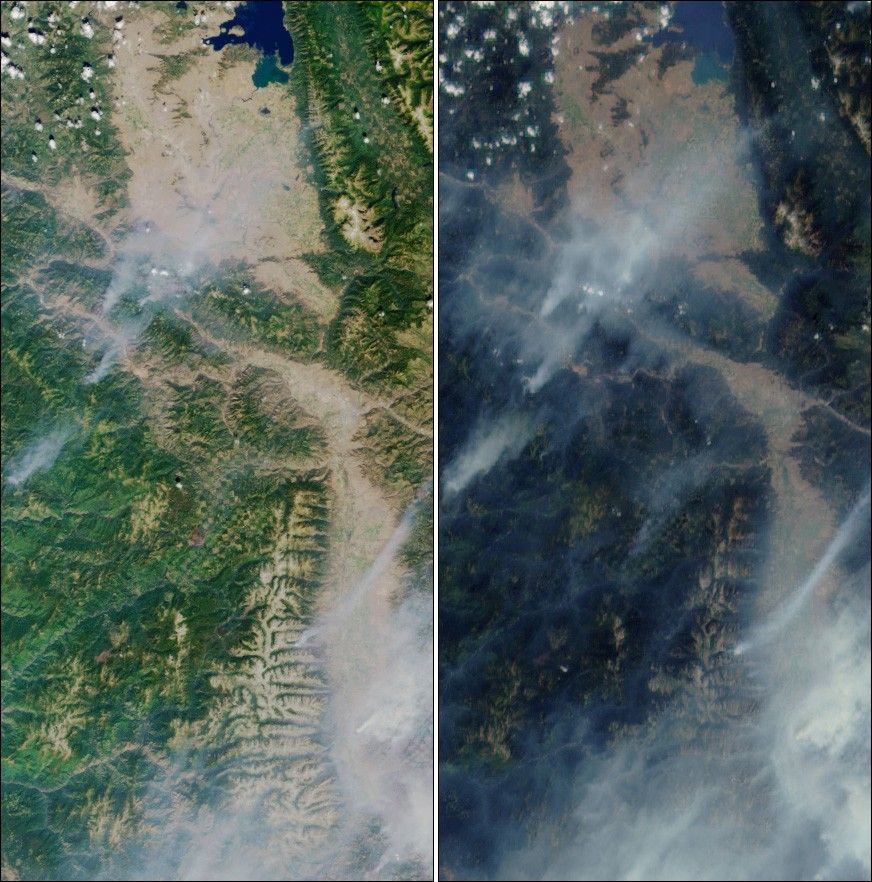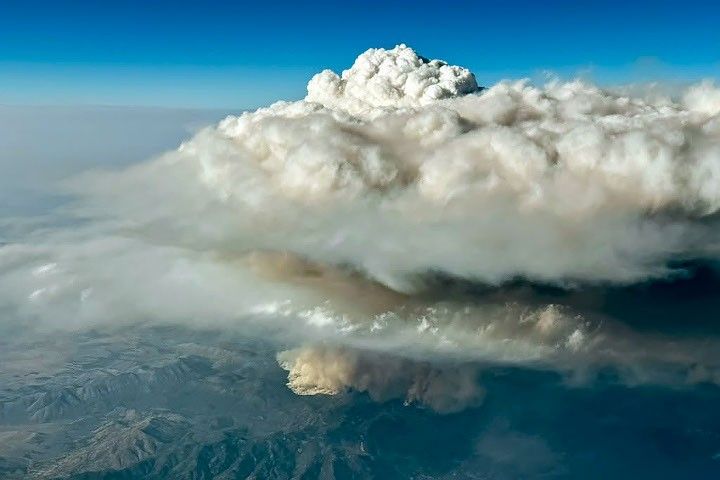

Multi-angle Imaging Spectroradiometer (MISR) images of smoke plumes fromwildfires in western Montana acquired on August 14, 2000. A portion of Flathead Lake isvisible at the top, and the Bitterroot Range traverses the images. Theleft view is from MISR's vertical-viewing (nadir) camera. The right viewis from the camera that looks forward at a steep angle (60 degrees). Thesmoke location and extent are far more visible when seen at this highlyoblique angle. However, vegetation is much darker in the forward view. A brownburn scar is located nearly in the exact center of the nadir image, while in thehigh-angle view it is shrouded in smoke.Also visible in the center and upper right of the images, and more obviousin the clearer nadir view, are checkerboard patterns on the surface associatedwith land ownership boundaries and logging.
Compare these images with the high resolution infrared imagery captured nearbyby Landsat 7 half an hour earlier.
References & Resources
Images by NASA/GSFC/JPL, MISR Science Team.