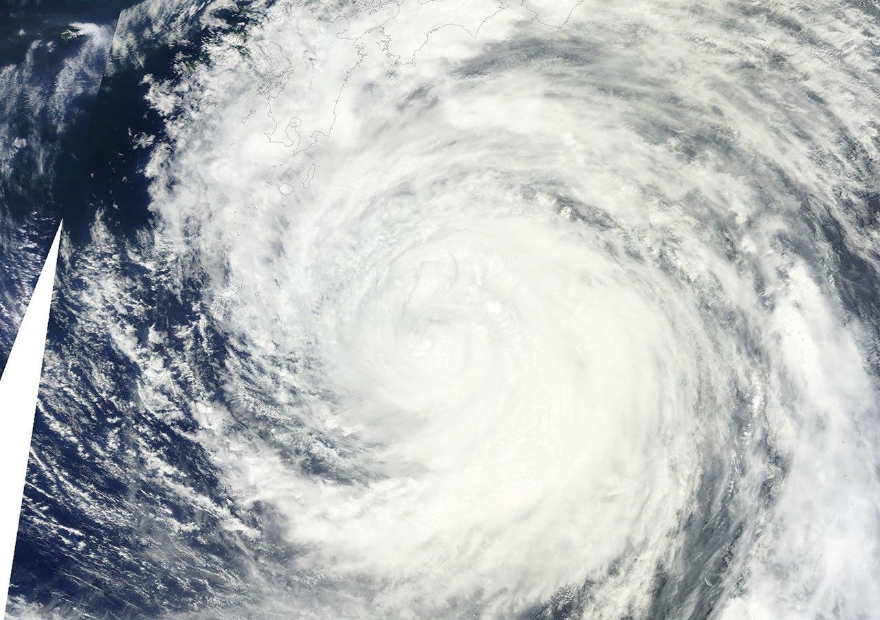
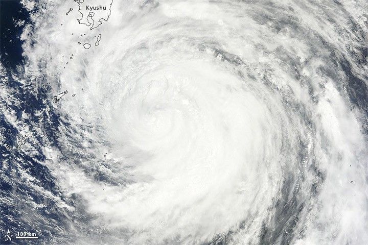
Typhoon Ma-on moved closer to Japan on July 18, 2011. The U.S. Navy’s Joint Typhoon Warning Center (JTWC) reported that Ma-on was located about 550 nautical miles (1,020 kilometers) southwest of Tokyo. The storm had maximum sustained winds of 75 knots (140 kilometers per hour) with gusts up to 90 knots (165 kilometers per hour).
The Moderate Resolution Imaging Spectroradiometer (MODIS) on NASA’s Terra satellite captured this natural-color image of Ma-on on July 18, 2011. The storm overlaps part of Japan, including the island of Kyushu.
The JTWC forecast that Ma-on would continue moving north then curve toward the east and travel along the southern coasts of the Japanese islands of Kyushu, Shikoku, and Honshu.
References & Resources
- Joint Typhoon Warning Center. (2011, July 18). Typhoon 08W (Ma-on) Warning. Accessed July 18, 2011.
NASA image courtesy MODIS Rapid Response Team at NASA GSFC. Caption by Michon Scott.