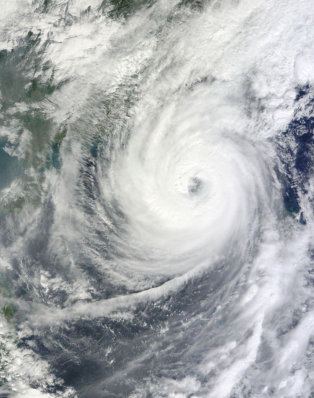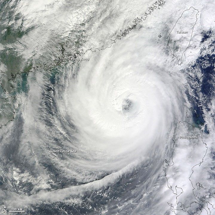
On October 21, 2010, Typhoon Megi continued raging over the South China Sea. The U.S. Navy’s Joint Typhoon Warning Center reported that Megi had maximum sustained winds of 100 knots (185 kilometers per hour) and gusts up to 125 knots (230 kilometers per hour). The Category 3 storm was located roughly 245 nautical miles (450 kilometers) east-southeast of Hong Kong, and was expected to make landfall on mainland China, between Hong Kong and Taiwan, within days.
The Moderate Resolution Imaging Spectroradiometer (MODIS) on NASA’s Terra satellite captured this natural-color image of Megi on October 21. The storm spans almost the entire distance between the northern Philippines and Hong Kong, and storm clouds extend over Taiwan in the northeast.
On October 20, Reuters reported that Megi had destroyed homes and caused at least 15 deaths in the northern Philippines. Chinese authorities were bracing for the storm to come ashore east of densely populated Hong Kong.
NASA image courtesy Jeff Schmaltz, MODIS Rapid Response Team at NASA GSFC. Caption by Michon Scott.