![Request for Information – Potential [Placeholder for Prize]](https://assets.science.nasa.gov/dynamicimage/assets/science/missions/a-step/FFR_Earth_Background_20251120%20.png?w=1024)


July 28, 2004
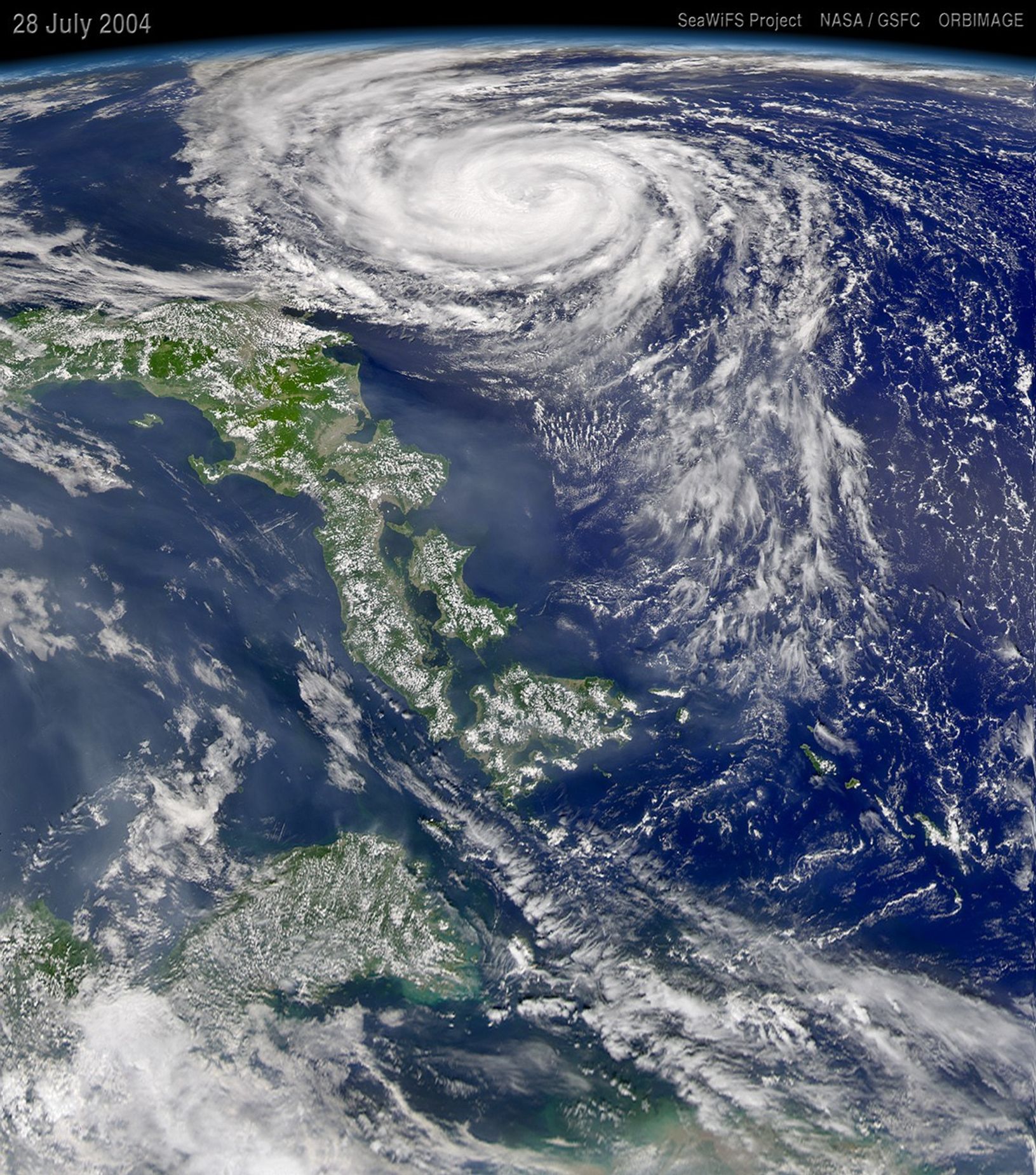
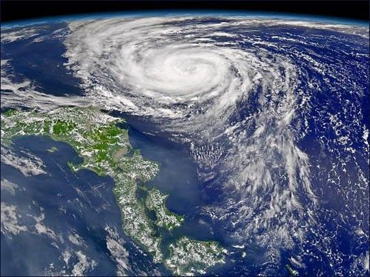
Typhoon Namtheun moves steadily closer to Japan as it churns over the northwest Pacific Ocean. When the Sea-viewing Wide Field-of-View Sensor (SeaWiFS) acquired this image on July 28, 2004, the storm had weakened slightly, with maximum sustained winds estimated to be 80 knots (92 mph). The Joint Typhoon Warning Center expects Namtheun to move south over Kyushu, southern Japan, in a line that would take it down the center of this image.
References & Resources
Image provided by the SeaWiFS Project, NASA/Goddard Space Flight Center, and ORBIMAGE