


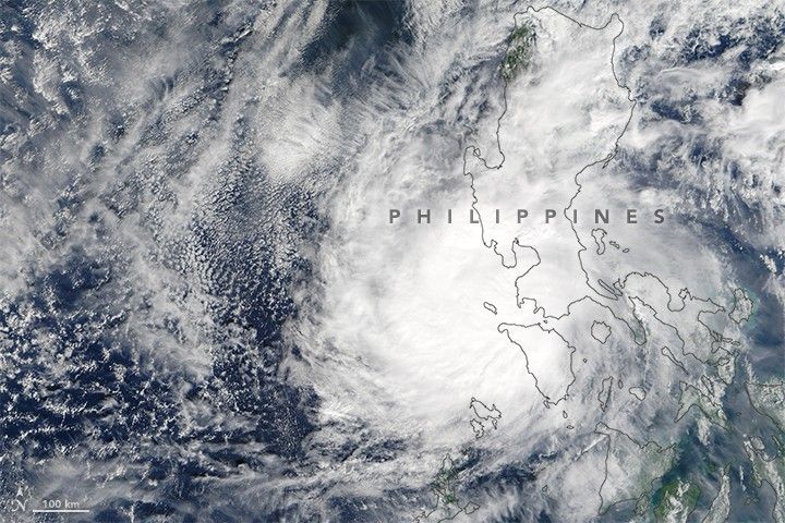
At 10:55 a.m. local time (02:55 Universal Time) on December 26, 2016, the Moderate Resolution Imaging Spectroradiometer (MODIS) on NASA’s Terra satellite captured this image of Typhoon Nock-Ten (locally called Nina) over the Philippines. The storm had weakened since making landfall the previous day as a category 4 super typhoon with top sustained winds of 250 kilometers (155 miles) per hour.
According to Weather Underground, the storm was the “strongest landfalling typhoon on record anywhere in the Northwest Pacific so late in the year.” The same story reported that two previous storms have had equal or stronger maximum winds, but those were located over water east of the Philippines.
According to news reports, the storm was responsible for at least six deaths and displaced about 380,000 residents.
References & Resources
- Dr. Jeff Masters’ WunderBlog, via Weather Underground (2016, December 26) Nightmare on Christmas: Super Typhoon Nock-Ten Pounds the Philippines. Accessed December 27, 2016.
- The Philippine Star (2016, December 26) Typhoon Nina kills at least 6, displaces 380,000. Accessed December 27, 2016.
NASA image by Jeff Schmaltz, using MODIS data from LANCE/EOSDIS Rapid Response. Caption by Kathryn Hansen.


