















Suggested Searches

1 min read

Typhoon Rananim

Instruments:
2004-08-12 00:00:00
August 12, 2004

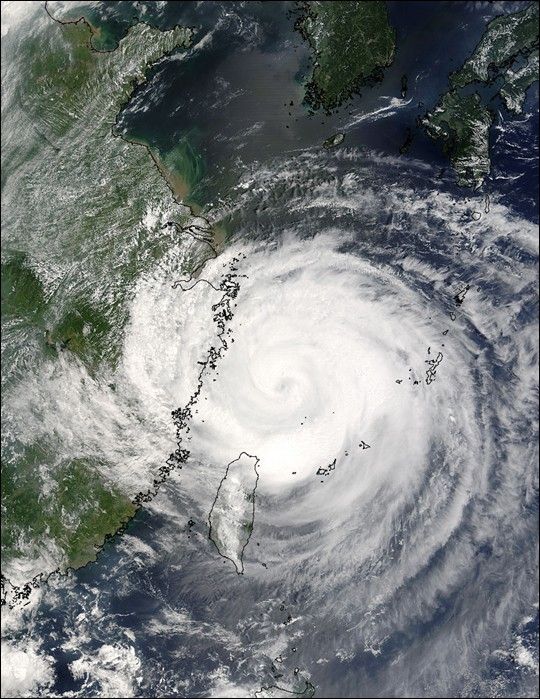
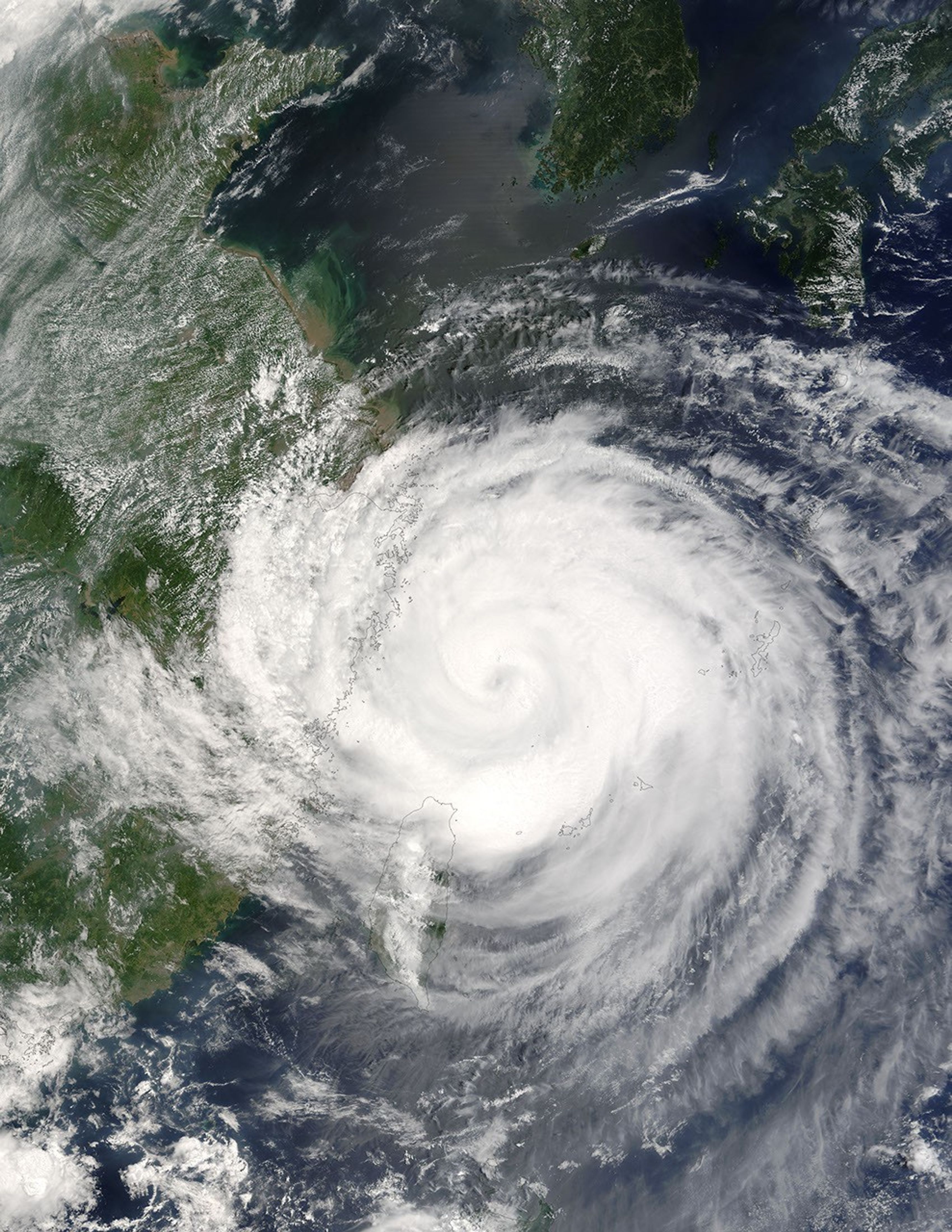
The MODIS instrument aboard NASA's Terra satellite captured this true-color image of Typhoon Rananim on August 12 at 2:40 UTC. At the time this image was taken, Rananim was located approximately 150 nm northeast of Taipei, Taiwan and had maximum sustained winds of 90 knots with higher gusts 110 knots. Rananim was moving towards the north-northwest at 13 knots.

The MODIS Rapid Response System provides this image at additional resolutions and formats.

References & Resources

Image courtesy Jacques Descloitres, MODIS Land Rapid Response Team at NASA GSFC.
You may also be interested in:

Stay up-to-date with the latest content from NASA as we explore the universe and discover more about our home planet.

Super Typhoon Bavi
3 min read

The third category 5 tropical cyclone of 2026 crossed the U.S. Northern Mariana Islands and Guam before continuing toward Asia.

Article
An Agricultural Mosaic in Taiwan
4 min read

Diversity reigns across the farmland of Yunlin County in southwestern Taiwan—a region that produces an array of crops on small…

Article
Typhoon Jangmi
2 min read

The sprawling storm promised to deliver torrential rain across a wide swath of southern Japan.

Article