


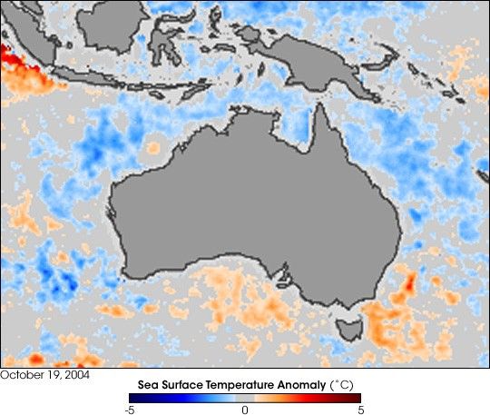
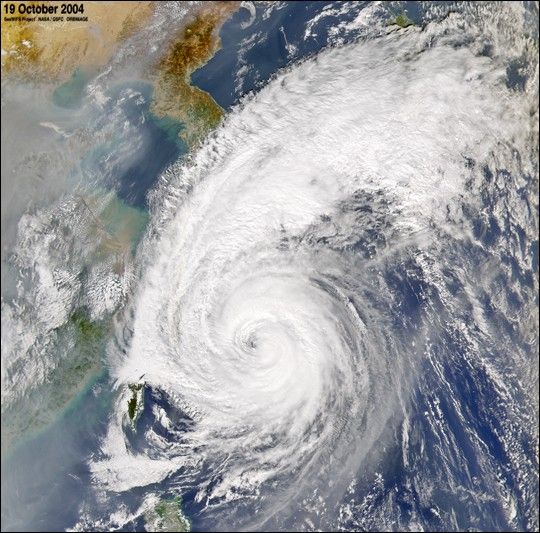
The Sea-viewing Wide Field-of-view Sensor (SeaWiFS) flying aboard the OrbView-2 satellite captured this true-color image of Typhoon Tokage on October 19, 2004, at 4:10 UTC. At the time this image was taken Tokage was located approximately 23 miles south-southeast of Okinawa, Japan, and was moving towards the north-northeast at 27 km/hr (15 mph). Generating winds of up to 173 km/hr (107 mph), Tokage—“lizard” in Japanese—was expected to hit Kyushu, Japan’s southernmost main island, on Wednesday to become the record 10th typhoon to make landfall in Japan this year. Experts say Japan has suffered from an unusual number of storms this year due to warmer offshore waters and weaker than normal Pacific high pressure areas. In addition to the Typhoon, also seen in this scene is a large pall of haze that is blanketing eastern China.
References & Resources
Provided by the SeaWiFS Project, NASA/Goddard Space Flight Center, and ORBIMAGE


