


Weather prediction is hard enough. But what are the possibilities forpredicting events related to weather?
With new tools being developed at NASA’s Goddard Space Flight Centerin Greenbelt, Md., and NASA’s ever increasing suite of Earthobservations, scientists just might be on the road to estimating futureweather-related incidents.
A recent real world example suggests just how valuable this kind ofinformation could be. Following the devastating season of wildfires inthe western United States, many questions remain. Could officials havepredicted the conditions for the severity of last summer’s fire season,and therefore planned differently?
At Goddard, experts are developing a system that someday soon mightbe useful in making those predictions. Oceanographer Dr. David Adamecand a team of earth scientists and others are using satellitemeasurements and conventional temperature readings of the oceans todrive an advanced computer simulation depicting seasonal to annualchanges in the land and atmosphere.
The goal of the research is to use the model to forecast real world,short-term climate trends. “We’ve essentially constructed a climate incyberspace,” said Adamec. “With the kind of dedicated digital horsepowerat our disposal, this model goes far beyond anything available to thedesktop world.”
Adamec says the simulation churns its digital winds and pelts theelectronic ground with simulated rain inside the heart of a Cray T3Esupercomputer. Although some years old now, NASA’s T3E is still one ofthe fastest systems in the world.
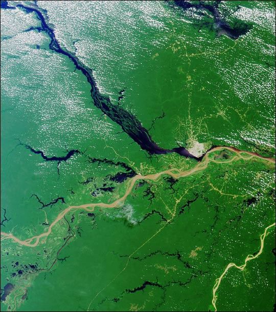
The above image shows the results of one such simulation.Brown and green colors represent soils that are drier (brown)or wetter (green) than normal. Water vapor is shown by increasingwhiteness.
For more information, see the press release.
References & Resources
Image courtesy NASA GSFC Scientific Visualization Studio
None


