![Request for Information – Potential [Placeholder for Prize]](https://assets.science.nasa.gov/dynamicimage/assets/science/psd/solar/2023/09/s/solarsystem_0.jpg?w=1024)


June 26, 2012
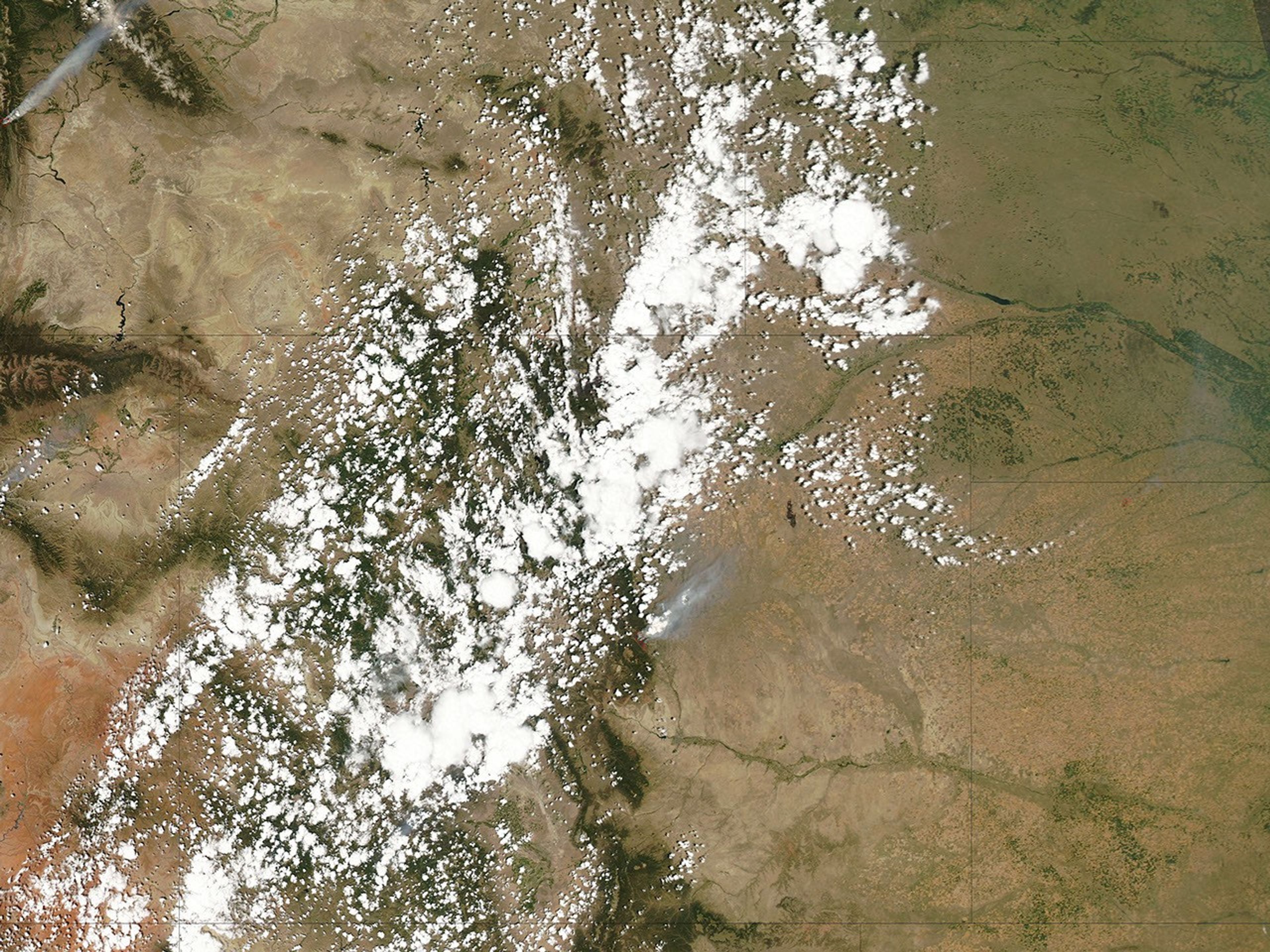
The Waldo Canyon Fire was discovered on June 23, 2012, in Pike National Forest near Colorado Springs, Colorado. By June 27, it had burned 15,517 acres (6,280 hectares), was just 5 percent contained, and had forced at least 32,000 people to evacuate their homes.
The Moderate Resolution Imaging Spectroradiometer (MODIS) on NASA’s Aqua satellite captured this image of the fire on June 26, 2012. Thick smoke, partially obscured by clouds, is visible blowing toward the northeast. The red outlines indicate hot spots where MODIS detected the unusually warm surface temperatures associated with fires.
References & Resources
- Inciweb. Waldo Canyon Fire. Accessed June 27, 2012.
- CNN. 32,000 Evacuated in Fast-Moving Colorado Springs Wildfire. Accessed June 27, 2012.
NASA image courtesy MODIS Rapid Response Team, Goddard Space Flight Center. Caption by Adam Voiland.