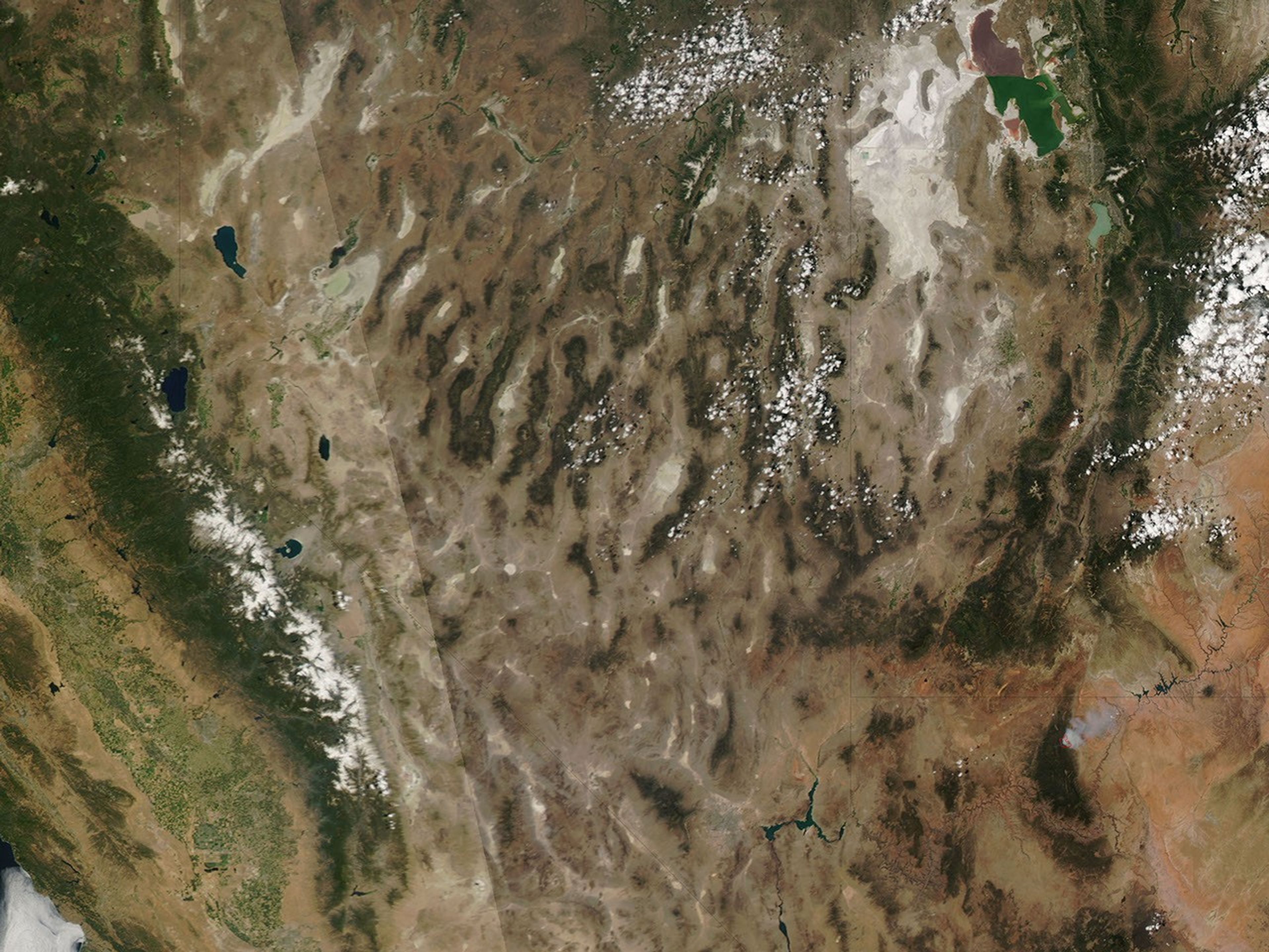
![Request for Information – Potential [Placeholder for Prize]](https://assets.science.nasa.gov/dynamicimage/assets/science/psd/solar/2023/09/s/solarsystem_0.jpg?w=1024)


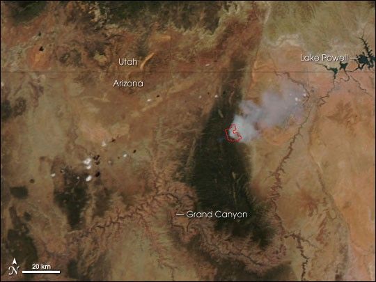
The Warm Fire in northern Arizona continued to burn in the Kaibab National Forest on June 21, 2006. This image from the Moderate Resolution Imaging Spectroradiometer (MODIS) on NASA’s Aqua satellite shows a red outline where MODIS detected actively burning fire. A plume of smoke drifts northeast toward Lake Powell.
According to the National Interagency Fire Center, this fire is a “Wildland Fire Use” fire. Wildland Fire Use fires are naturally ignited fires that land managers may allow to burn in a certain area according to pre-determined strategies for improving natural resources. Nevertheless, fire managers are carefully watching the Warm Fire because of the possibility for rapid growth due to extremely dry conditions in the area. The fire was estimated to be about 7,000 acres as of June 22.
The high-resolution image provided above has a spatial resolution (level of detail) of 250 meters per pixel. The MODIS Rapid Response System provides this image at additional resolutions.
References & Resources
NASA image courtesy the MODIS Rapid Response Team, Goddard Space Flight Center