


Iceland Field Campaign – Lidar Setup
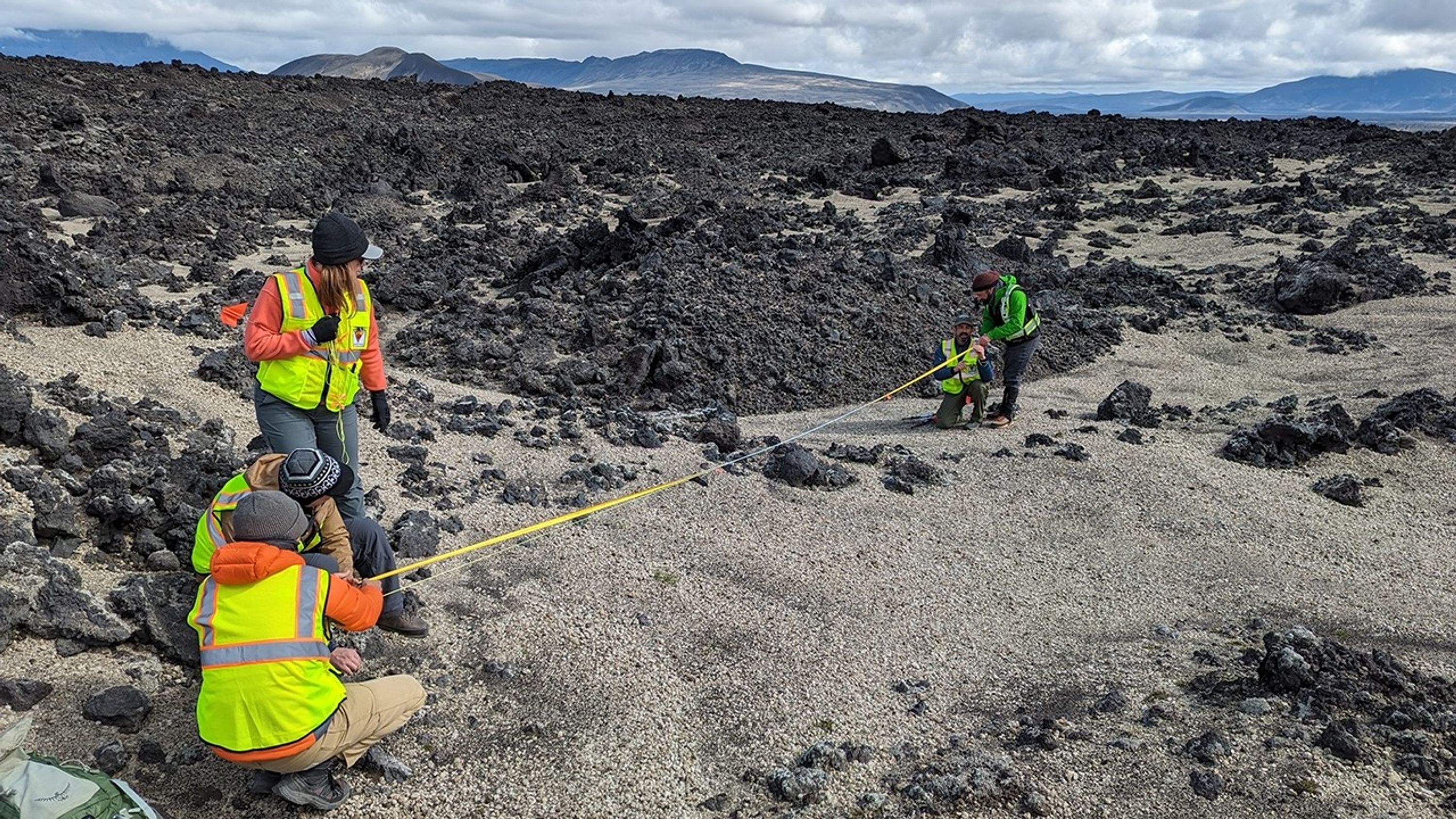
Members of the international VERITAS science team prepare for lidar (Light Detection and Ranging) imaging of rocks in Iceland. Lidar measurements of rocky terrain provide information about surface roughness that can then be compared with radar images of the same location.
Image Credit: NASA/JPL-Caltech
- X
https://science.nasa.gov/image-detail/amf-5bc6117e-3035-4987-9b8c-1e45f83e0793/
Image CreditNASA/JPL-Caltech
Size3000x1688px
