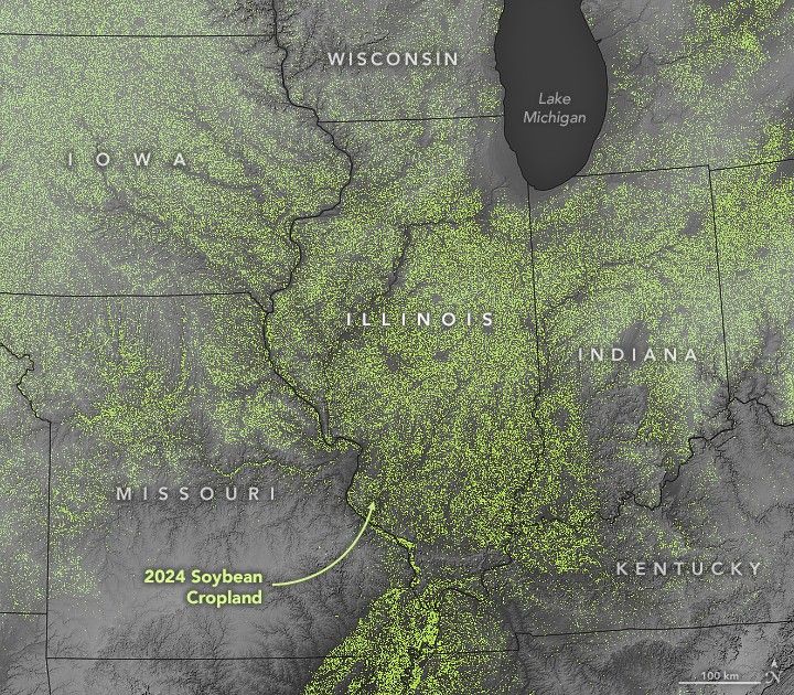
Field of Soy Dreams in IllinoisThe Midwest state has flat land, fertile soils, and the nation’s largest soybean harvest. Facebook Pinterest X LinkedIn Email https://science.nasa.gov/image-detail/amf-7fa3bddc-bc16-41a1-92ba-611b623d1bf0/Copy URL to clipboard> DownloadShareTagsEarth Observatory Image of the DaySize720x630px