


Death Valley Through Landsat’s First Lens
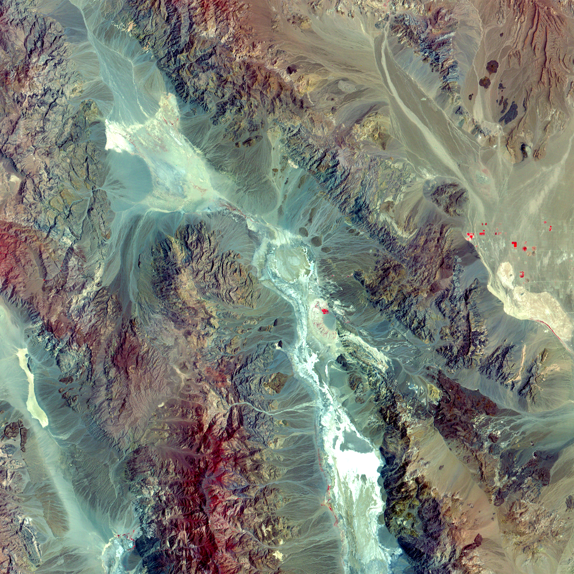
Landsat 1 captured this false-color image of Death Valley on May 27, 1976. At the center lies Furnace Creek, a key landmark in one of the hottest and driest places on Earth. The bright whites in the valley floor represent salt flats, while red tones indicate sparse desert vegetation.
Image Credit: USGS
- X
https://science.nasa.gov/image-detail/amf-85e62a5f-74e8-4603-a0fd-bfb4bbd4d1e1/
Image CreditUSGS
Size2400x2400px
