


A Half-Century of Loss in Northwest Greenland
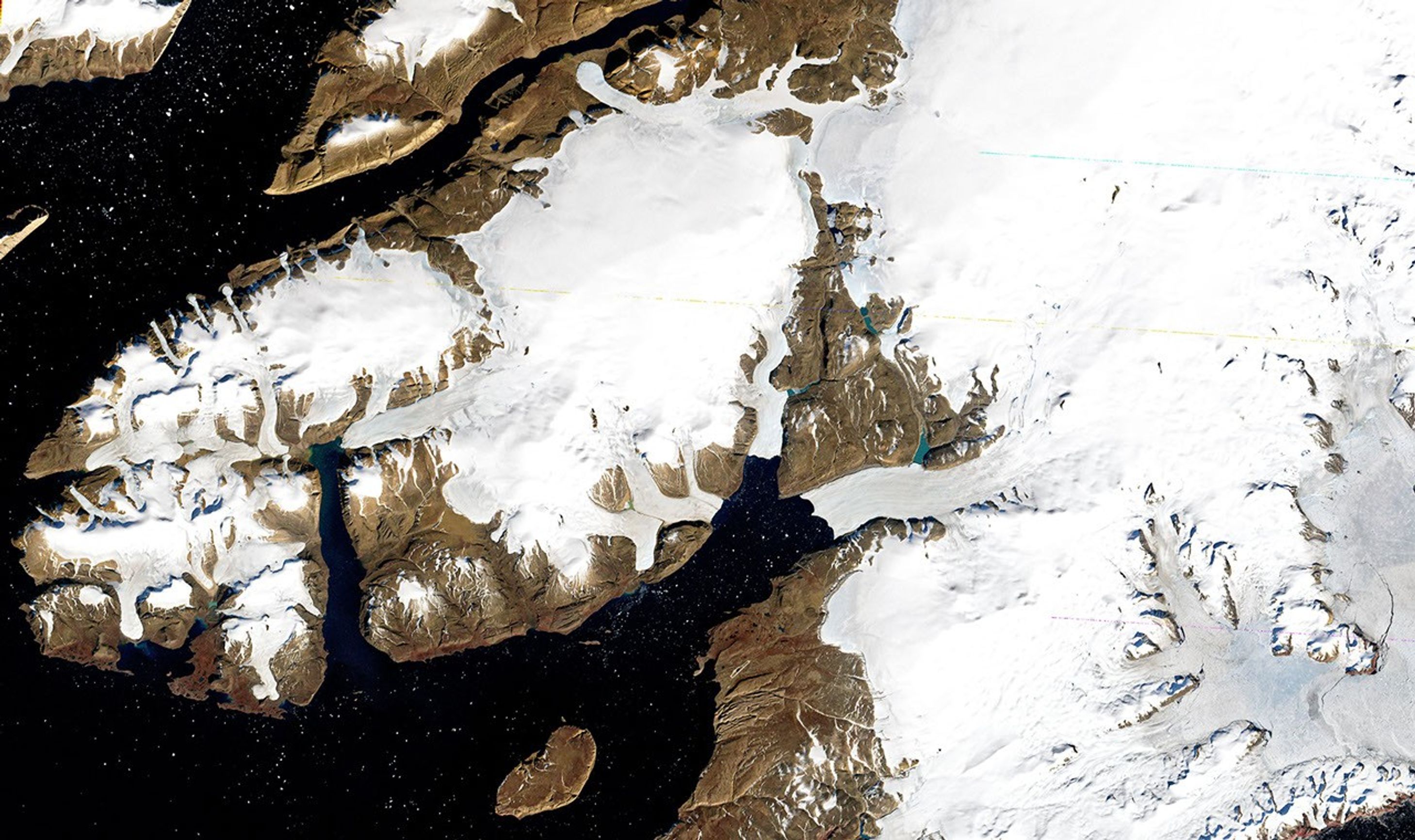
This Landsat 1 satellite image from September 3, 1973, shows northwest Greenland in false color (using MSS bands 6-5-4). While resembling natural color, the visualization uses near-infrared data that would make vegetation appear red, though little is present in this Arctic region. The image captures glaciers flowing into Wolstenholme Fjord and the North Ice Cap when they were more extensive, before decades of warming led to significant ice retreat throughout the region.
Image Credit: NASA/Earth Observatory
- X
https://science.nasa.gov/image-detail/amf-a72601df-08ea-4a29-b646-f83c249e4f0e/
Image CreditNASA/Earth Observatory
Size2917x1733px
