Which Pole Is Colder?
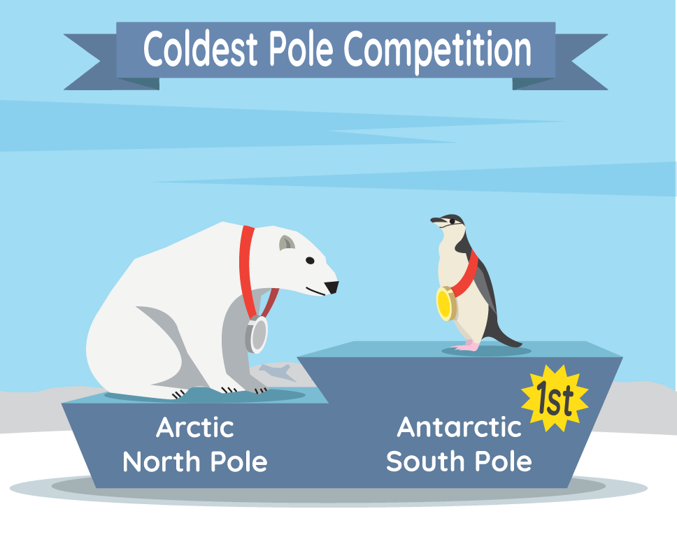
The South Pole is a lot colder than the North Pole.
Both the North and South Pole are very cold because they get very little direct sunlight throughout the year. This has to do with where the poles are located on the sphere-shaped Earth. The North Pole is at the top, and the South Pole is at the bottom.
At both poles, the Sun is always low on the horizon. This helps keep the poles cold even in the summer when the Sun is up all day. In winter, the Sun is so far below the horizon that it doesn't come up for months at a time. So the days are just like the nights — cold and dark.
Even though the North Pole and South Pole are at opposite ends of the planet, they both get the same amount of sunlight over the year. But take a look at this table of temperatures. What do you see?
Average temperature
| North Pole | South Pole | |
| Summer | 32° F (0° C) | −18° F (−28.2° C) |
| Winter | −40° F (−40° C) | −76° F (−60° C) |
That’s right! The South Pole is a lot colder than the North Pole in both seasons. Why? Well, the poles are “polar opposites” in more than one way. Let’s compare.
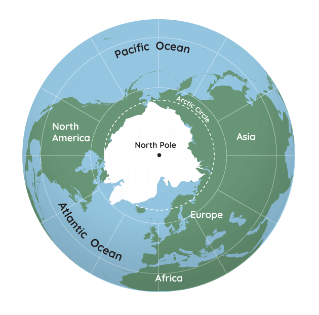
What Makes the North Pole Really Cold?
The North Pole sits in the middle of the Arctic Ocean. The Arctic Ocean and the land around it make up the Arctic region.
It’s cold enough that most of the Arctic Ocean is covered in ice, known as sea ice, for much of the year. That means that the North Pole sits in the middle of sea ice. Since sea ice floats over water, it behaves differently than ice over land. That is because the parts of the ocean that are not covered in ice help warm the air. Plus, the temperature of the water below the sea ice changes. Both limit how thick the sea ice can grow.
NASA and its partners have measured Arctic sea ice since 1979. Currently, the ICESat-2, or Ice, Cloud, and land Elevation Satellite-2, uses a laser in space to help measure ice height and thickness around the world.
This and other satellites have tracked changes in Arctic sea ice, including when it grows and shrinks every year.
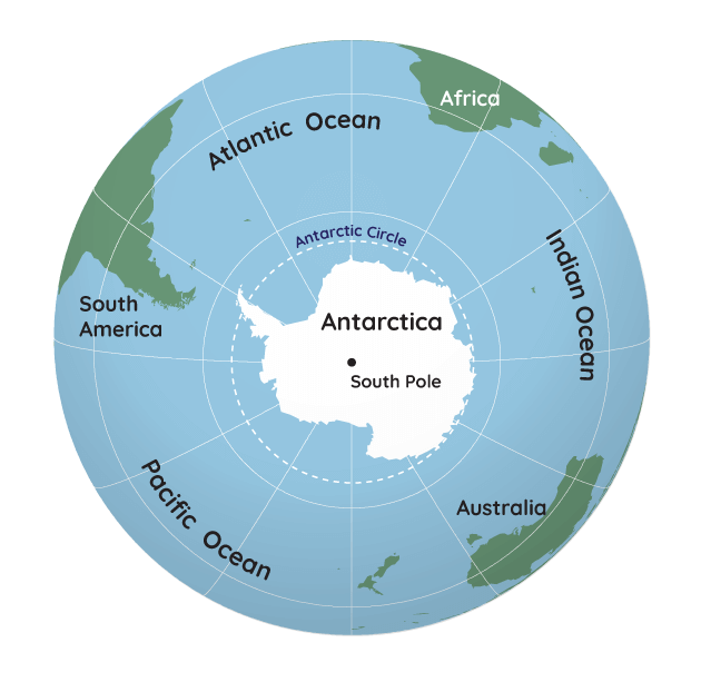
What Makes the South Pole Really, Really Cold?
Heading to the South Pole, we find the opposite. Now we have land surrounded by ocean.
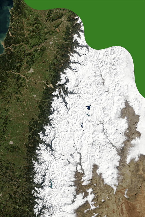
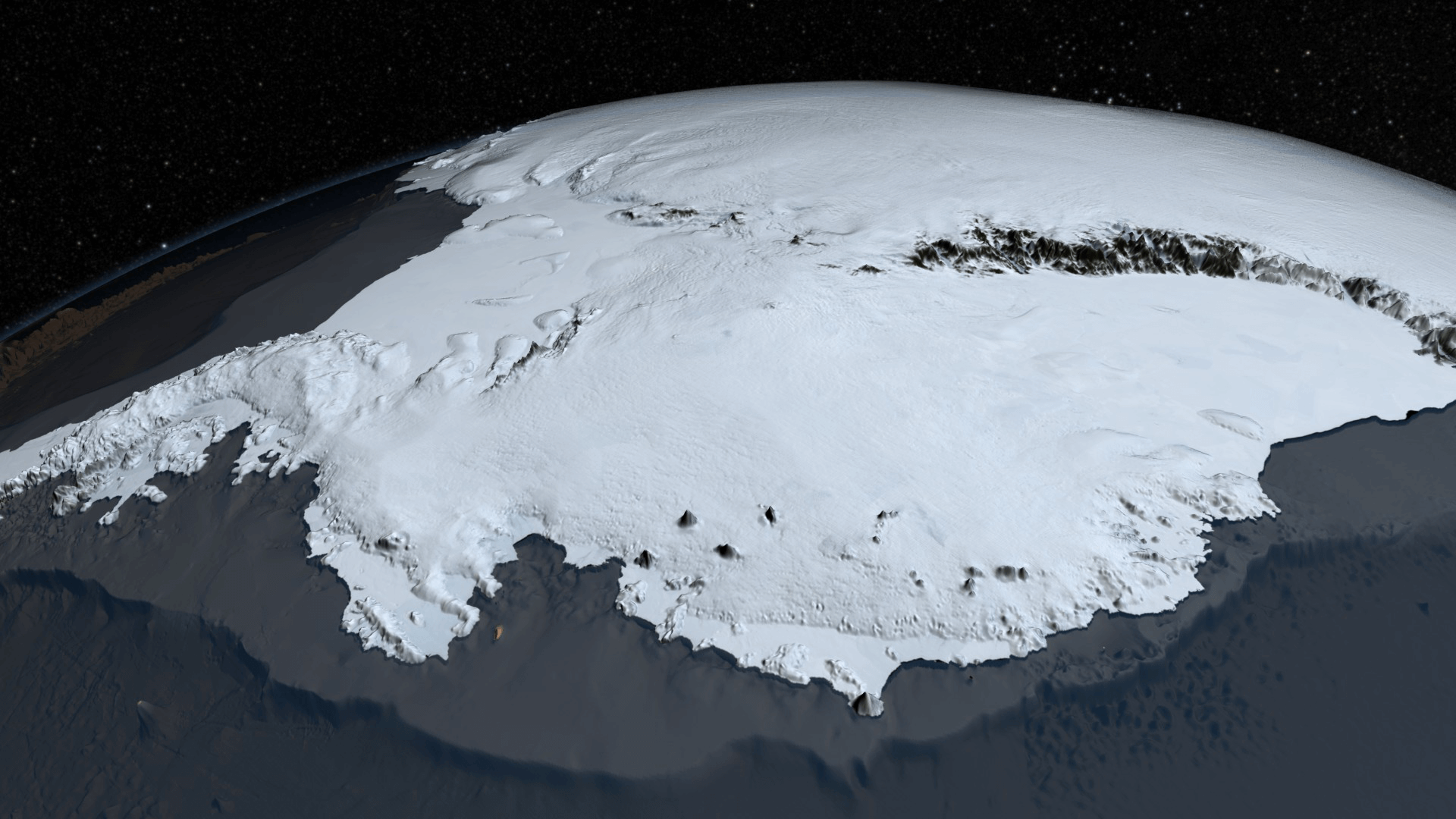
The continent of Antarctica is high and dry. The ice in Antarctica is super thick — up to 3 miles (5 kilometers)! This ice sheet forms a huge plateau — a flat surface like a tabletop — that stands high above sea level. ICESat-2 also tracks the height and thickness of ice in Antarctica.
Antarctica's ice and snow also sits on top of mountains that are very tall and rise high above sea level. Just like mountains in other parts of the world, the higher you climb in Antarctica, the colder the air gets.
Another reason that the South Pole is so much colder than the North Pole is because of the strength of the winds blowing around it. Antarctica is surrounded by water on all sides. So, the ocean waters and winds swirling around it are not blocked by anything, allowing the winds to become very strong.
These winds can stop the warmer air from warmer places — north of Antarctica, like Africa and South America — from mixing with the cold, polar air. This helps Antarctica get cold and stay cold.
Winds also blow around the North Pole and Arctic, but they are not as strong most of the time. This is because there is land around the Arctic Ocean that can slow down winds as they travel around the Arctic. Because of this, warmer air from the south is able to mix with polar air sometimes. This is another reason why the Arctic is warmer.
The Arctic may be warmer, but it’s still cold. So, whether you’re planning a trip to see polar bears in the Arctic, or penguins in Antarctica, be sure to bundle up. And maybe go when it’s summer.
Related NASA Missions
ICESat-2
The Ice, Cloud and land Elevation Satellite-2 mission measures the thickness of ice sheets and sea ice, and tree canopy heights.