


2015 Workshop Posters
Posters
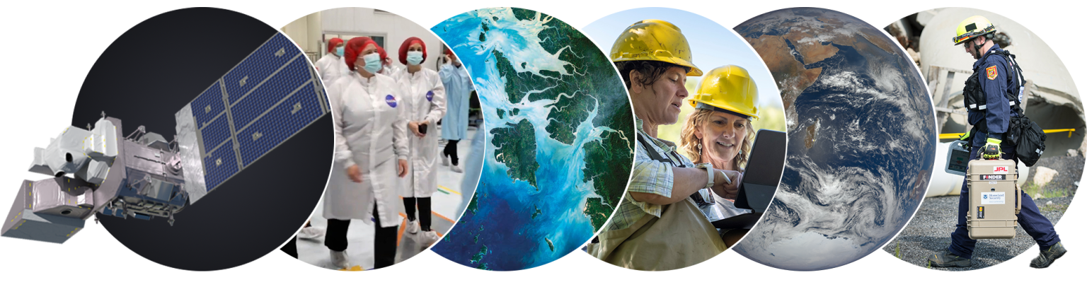
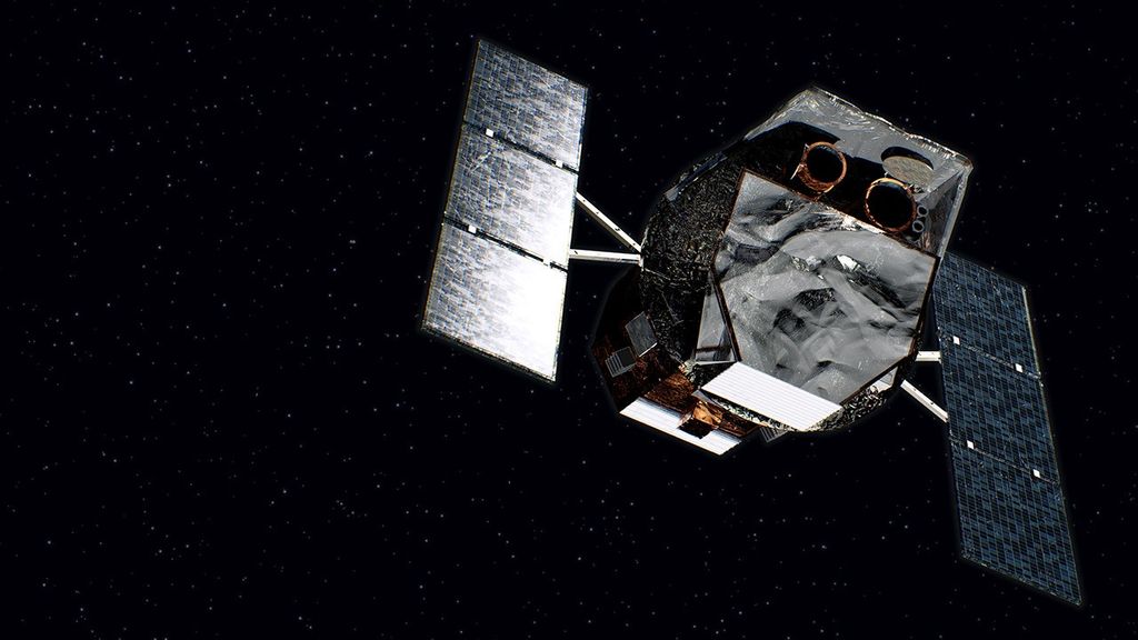
2015 NASA-ISRO SAR Mission Applications Workshop: Linking The Applied Science Community to Mission Data
October 13-15
NASA Ames Conference Center, Moffett Field, CA
There will be a dedicated room at the NASA Ames Conference Center where posters will be on display for the duration of the workshop, with two poster sessions during the workshop. Please ensure your poster is sized to fit: maximum size 3’ wide by 4’ high. Please plan on hanging your poster Tuesday morning when arrive. We will have poster numbers and instructions on where to place posters at registration.
View the poster map below. Poster authors with odd numbered posters are asked to be at their posters in Poster Session #1 (Wednesday). Poster authors with even numbered posters are asked to be at their posters in Poster Session #2 (Thursday).
We would like to put electronic versions of the posters online – initially through the Dropbox, and eventually on the workshop webpage. Please send a PDF of your poster to the organizers if you would like your poster shared.
| Last Name | First Name | # of Posters | Poster Title | Poster Number |
|---|---|---|---|---|
| Agram | Piyush | 1 | InSAR Scientific Computing Environment (ISCE): A high performance, scalable solution for Big InSAR data | 37 |
| Bechor | Noa | 1 | Centimeters-Level Precision and Relative Accuracy of MAI Measurements in low to Medium Coherence Terrains | 40 |
| Bell | Jordan | 1 | Application of SAR Data to Weather Disasters | 14 |
| Besana-Ostman | Glenda | 1 | Detection and Monitoring of Landslides using InSAR | 7 |
| Chapman | Bruce | 1 | Examples of wetlands detection using L-band SAR | 3 |
| Coltin | Brian | 1 | Crisis Mapping: Flood Detection | 15 |
| Conway | Brian | 1 | Using InSAR Data for Groundwater Management in Arizona | 38 |
| Crosby | Christopher | 1 | Standardized data format for a community-contributed InSAR product archive | 42 |
| De | Shaunak | 1 | Classification of PolSAR data with insights into a Deep Learning Approach | 41 |
| Donnellan | Andrea | 1 | Studying Recent California Earthquakes with UAVSAR and GeoGateway | 27 |
| Farr | Tom | 1 | InSAR mapping of subsidence in the Central Valley | 35 |
| Feigl | Kurt | 2 | 1. Applying InSAR to Managing Geothermal Reservoirs: Case Study at Brady’s Hot Spring, Nevada, USA 2. Evolution of unrest at Laguna del Maule volcanic field (Chile) from InSAR and GPS measurements, 2003 to 2014 | 19 & 20 |
| Fielding | Eric | 1 | Integrating SAR and GPS for Earthquake Hazard Management and Response: Examples from the Advanced Rapid Imaging and Analysis (ARIA) Project | 22 |
| Foster | Ralph | 1 | Calculating Sea-Level Pressure from SAR Images of Tropical Cyclones | 13 |
| Glascoe | Maggi | 1 | Disaster Response Tools for Data Discovery and Decision Support – GeoGateway and E-DECIDER | 28 |
| Hager | Bradford | 1 | Coupled groundwater flow and geomechanics analysis of the 2011 Lorca earthquake | 31 |
| Heggy | Essam | 1 | InSAR Assessment of Groundwater Dynamics in Urban Coastal Areas | 30 |
| Jenkins | Liza | 1 | L-band SAR applications | 36 |
| John | Anupama | 1 | Application of Single Polarimetric RADARSAT2 Images in Estimating Water Stage in the Everglades | 4 |
| Jones | Cathleen | 2 | UAVSAR: InSAR and PolSAR Applications Testbed for the NISAR Mission, Parts 1 & 2 | 17 & 18 |
| Kim | Seungbum | 1 | NISAR's potential for agricultural soil moisture information: examples from SMAP | 9 |
| Lavalle | Marco | 1 | An acquisition strategy for the NISAR mission to retrieve 3-D forest structure | 10 |
| Liu | Zhen | 1 | Mapping fault creep and transient motion in central and southern California using satellite InSAR, UAVSAR and GPS | 32 |
| Mellors | Rob | 1 | The subTER Project | 34 |
| Merryman Boncori | John Peter | 1 | Sarmap software tools for land management and survey applications | 1 |
| Meyer | Franz | 1 | InSAR Remote Sensing for Performance Monitoring of Transportation Infrastructure at the Network Level | 11 |
| Meyer | Victoria | 1 | Dual Frequency InSAR characterization of Tropical Forest Structure and Biomass: GeoSAR Measurements in Choco, Colombia | 29 |
| Muskett | Reginald | 1 | ICESat GLAS Elevation Changes and ALOS PALSAR InSAR Line-Of-Sight changes on the Continuous Permafrost Zone of the North Slope, Alaska | 39 |
| Panda | Bibhuti | 1 | Application of InSAR for Landslide Hazards Analysis | 8 |
| Poland | Michael | 1 | Tracking lava flow emplacement with spaceborne SAR | 16 |
| Potter | Christopher | 1 | Patterns of Aboveground Biomass Regeneration in Post-Fire Coastal Scrub Communities from L-band Synthetic Aperture Radar Data | 5 |
| Rosinski | Anne | 1 | CA Earthquake Clearinghouse SAR applications in disaster response | 26 |
| Simard | Marc | 1 | Radar Imaging of Coastal Wetlands | 12 |
| Simons | Mark | 1 | Use of SAR for active fire monitoring and burn scar detection | 6 |
| Smilovsky | Danielle | 1 | Characterizing the 'WHY?' of a Historical InSAR Subsidence Feature in Phoenix | 33 |
| Stough | Tim | 1 | A Timeline for the Nepal Earthquake Response with Actual and Desired Events | 23 & 24 |
| Vargas | Mario Fernando Angarita | 1 | Deformation processes in the region of Chiles-Cerro Negro and Galeras volcanoes using InSAR Images | 21 |
| Venugopalan | Manavala Ramanujam | 1 | L&S Band Airborne SAR | 43 |
| Vijayakumar | Singanamalla | 1 | Oil Spill Detection using SAR Images | |
| Whelen | Tracy | 1 | Backscatter Time Series of Agricultural Crops | 2 |
| Yun | Sang-Ho | 1 | Rapid Damage Mapping for the 2015 M7.8 Gorkha Earthquake using Synthetic Aperture Radar Data from COSMO-SkyMed and ALOS-2 Satellites | 25 |