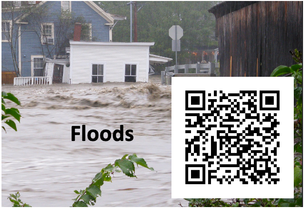
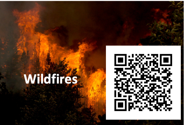
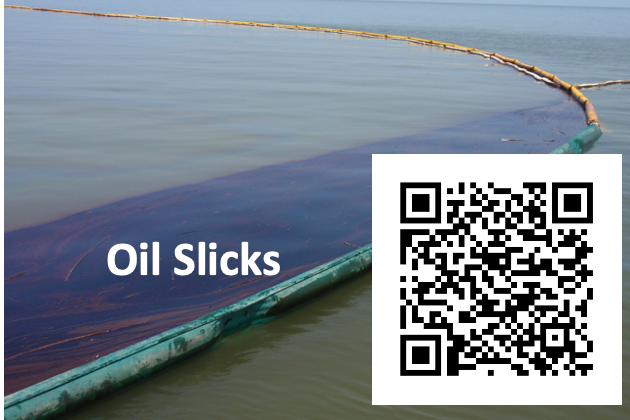
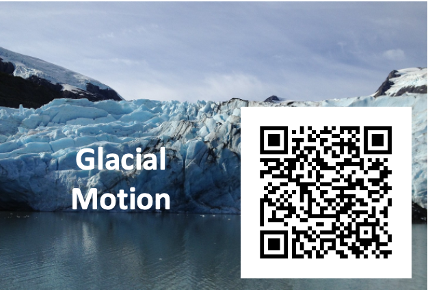
Explore NISAR MissionEarthNISARHomeMission Overview Science/Mission Team ISRO Partnership What is SAR?About the SatelliteScienceAreas of StudySocietal BenefitsSocietal BenefitsApplicationsWorkshopsEnvoys & Early AdoptersDataLearning HubLearning ResourcesNews & UpdatesResourcesMultimedia GalleryPress KitVideosArcgis Storymaps Explore Storymaps Across NISAR Applications FloodsClick here to view the Floods StorymapLaunchWildfiresClick here to view the Wildfires StorymapLaunchOil SlicksClick Here to see the Oil Slicks StorymampLaunchGlacial MotionClick here to view the Glacial Motion StorymapLaunchLand SubsidenceClick here to view the Land Subsidence StorymapLaunch Share Details Last Updated Jul 25, 2025 Explore More More NISAR News Article2 Min ReadNISAR’s View of Mount RainierArticle2 Min ReadNISAR Views Mount St. Helens 4 Min ReadNASA-ISRO Satellite Captures Pacific Northwest Through CloudsArticle 4 Min ReadLandslide and Avalanche Debris Litter Hubbard GlacierArticle 3 Min ReadU.S.-India NISAR Satellite Images Mississippi River Delta RegionArticle Keep Exploring Discover Related Topics Explore Earth Science Earth Science at Work NASA Earth Science helps Americans respond to challenges and societal needs — such as wildland fires, hurricanes, and water supplies… Earth Science Missions In order to study the Earth as a whole system and understand how it is changing, NASA develops and supports… Earth Science Data Open access to NASA’s archive of Earth science data