SAR Education Resources
Helpful Tutorials
- NASA Data Active Archive Center: Alaska Satellite Facility SAR Tutorials
- Free and open SAR Semester including lecture materials, readings, labs, etc.
- UNAVCO Short Courses focused on the latest geodetic techniques, tools and data streams
- Natural Resources Canada tutorial: Microwave Remote Sensing Basics
- What is SAR? SAR Overview
- ARSET
- Introduction to Synthetic Aperture Radar
- Radar Remote Sensing for Land, Water, & Disaster Applications
- SAR for Landcover Applications
- SAR for Disasters and Hydrological Applications
- Forest Mapping and Monitoring with SAR data
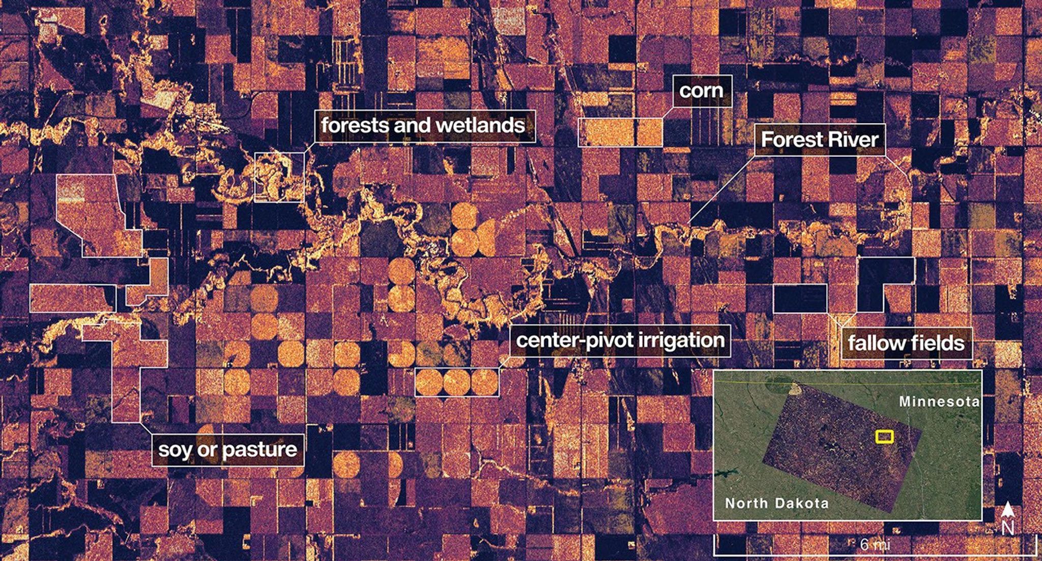
- Agricultural Crop Classification with Synthetic Aperture Radar and Optical Remote Sensing (2021, 2023)
NASA Capacity Building Programs
- DEVELOP – Public-access reports on feasibility studies for integrating SAR into real-world decision support systems and 3-min videos:
- Rapid Damage Validation post natural disasters
- Near-real-time active-fire and post-burn support to fire responders
- Fire hotspots and swamp susceptibility
- Drought and insect-related dieback
- Human impacts on natural and surface deformation in Black Rock Playa, Nevada
- Flood extent mapping post-coastal storm disasters
- Flood vulnerability in New Orleans
- Flood preparedness in coastal communities
- Wetland Inundation Mapping
- Wetland change mapping
- Wetland habitat mapping
- Wetland hydroperiod mapping
- Wild rice crop monitoring
- SAR-enhanced crop classification (Study 1 and Study 2)
- Vegetation water use in the Panama Canal watershed
- SERVIR


