


Description
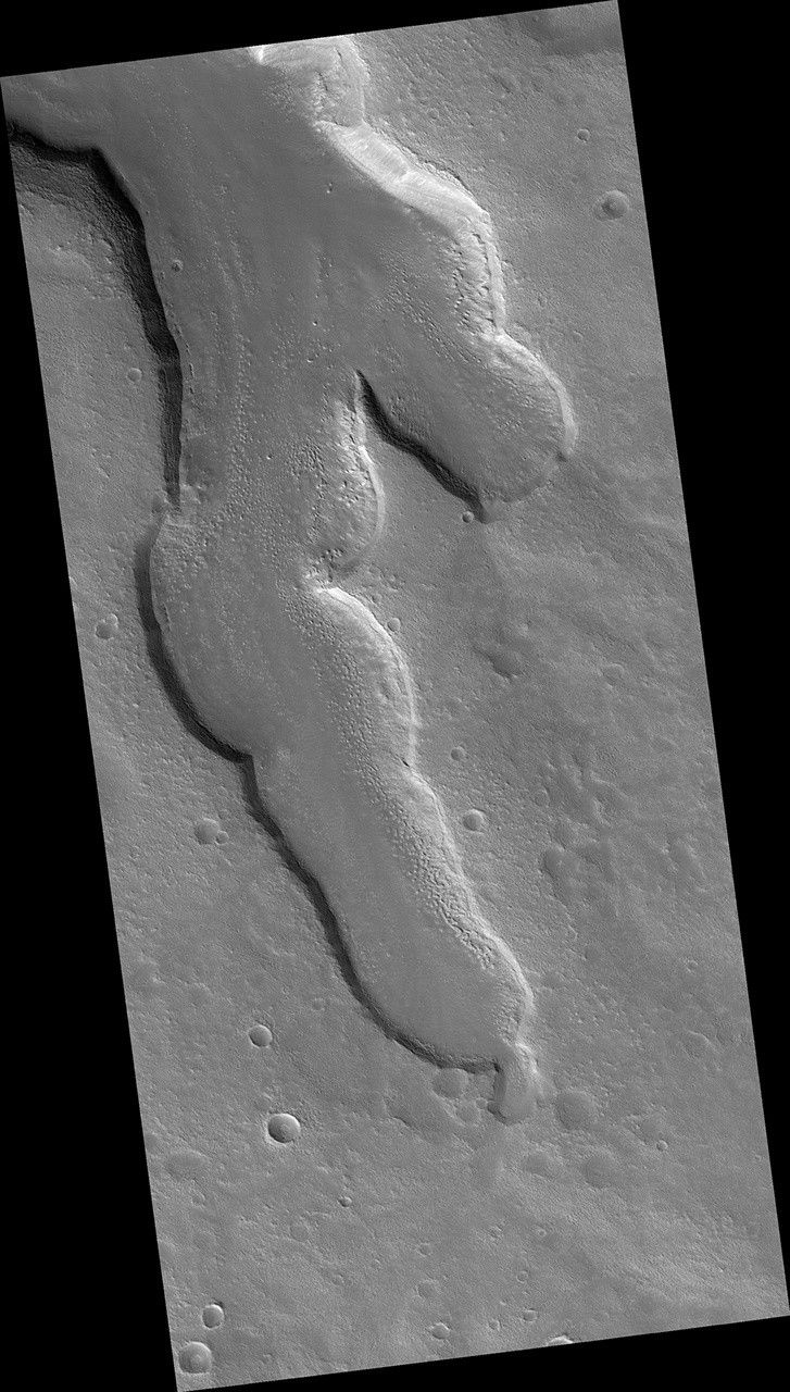
Map Projected Browse Image
Click on the image for larger version
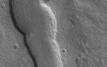
The goal of this observation from NASA's Mars Reconnaissance Orbiter (MRO) is to determine the source of the ridge within a possible moraine that is also present in another HiRISE image. A moraine is a mass of rocks and sediment carried down and deposited by a glacier.
If the structure is a moraine, we should expect to find two sources of debris converging in the valley. If the sources are carrying lots of debris, there is a good chance of finding more moraine features further up the valley.
The map is projected here at a scale of 50 centimeters (19.7 inches) per pixel. [The original image scale is 59.5 centimeters (23.4 inches) per pixel (with 2 x 2 binning); objects on the order of 179 centimeters (70.5 inches) across are resolved.] North is up.
The University of Arizona, Tucson, operates HiRISE, which was built by Ball Aerospace & Technologies Corp., Boulder, Colorado. NASA's Jet Propulsion Laboratory, a division of Caltech in Pasadena, California, manages the Mars Reconnaissance Orbiter Project for NASA's Science Mission Directorate, Washington.


