


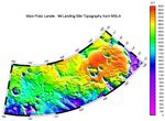
Description
High resolution digital elevation model of the MPL landing site corridor based on observations through MGS Orbit Trim Maneuver-2 on June 10, 1999.
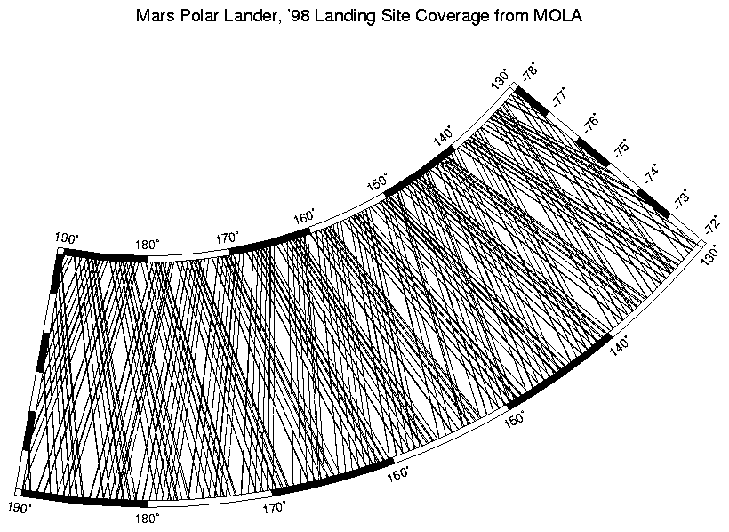
See also MOLA profile coverage (P50482) in the MPL landing site corridor. This plot shows the distribution of data that was used to make the above high-resolution digital elevation model.


