


Description
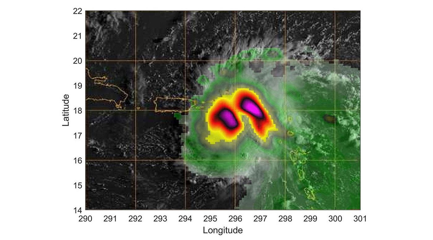
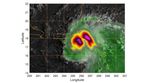
TEMPEST-D — a weather-observing satellite the size of a cereal box — captured imagery of Hurricane Dorian off the coast of Puerto Rico in the early morning hours (local time) of Aug. 28, 2019. At a vantage point 250 miles (400 kilometers) above the storm, the CubeSat used its miniaturized radio-wave-based instrument to see through the clouds, revealing areas with strong rain and moisture being pulled into the storm. The green colors show moisture spiraling into the storm's center, and the yellow to pink colors correspond to the most intense rainfall. TEMPEST-D — short for Temporal Experiment for Storms and Tropical Systems Demonstration — is an experiment in shrinking weather satellites to a size that makes them inexpensive enough to produce in multiples. The goal is eventual real-time storm coverage with many small satellites that can track storms around the world.
TEMPEST-D is a technology-demonstration mission led by Colorado State University and managed by JPL in partnership with Blue Canyon Technologies and Wallops Flight Facility in Virginia. The mission is sponsored by NASA's Earth Ventures program and managed by the Earth Science Technology Office. The radiometer instrument was built by JPL and employs high-frequency microwave amplifier technology developed by Northrop Grumman.


