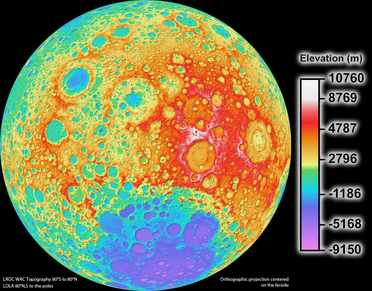
High Resolution Topographic Map of the Moon
October 5, 2017
| Credit | NASA/Goddard Space Flight Center/DLR/ASU |
|---|---|
| Language |
|
NASA's Lunar Reconnaissance Orbiter science team released the highest resolution near-global topographic map of the Moon ever created to date. This topographic map shows the surface shape and features over nearly the entire moon with a pixel scale close to 328 feet.
Although the moon is Earth's closest neighbor, knowledge of its morphology is still limited. Due to the limitations of previous missions, a global map of the moon's topography at high resolution has not existed until now. With LRO's Wide Angle Camera and the Lunar Orbiter Laser Altimeter instrument, scientists can now accurately portray the shape of the entire moon at high resolution.


