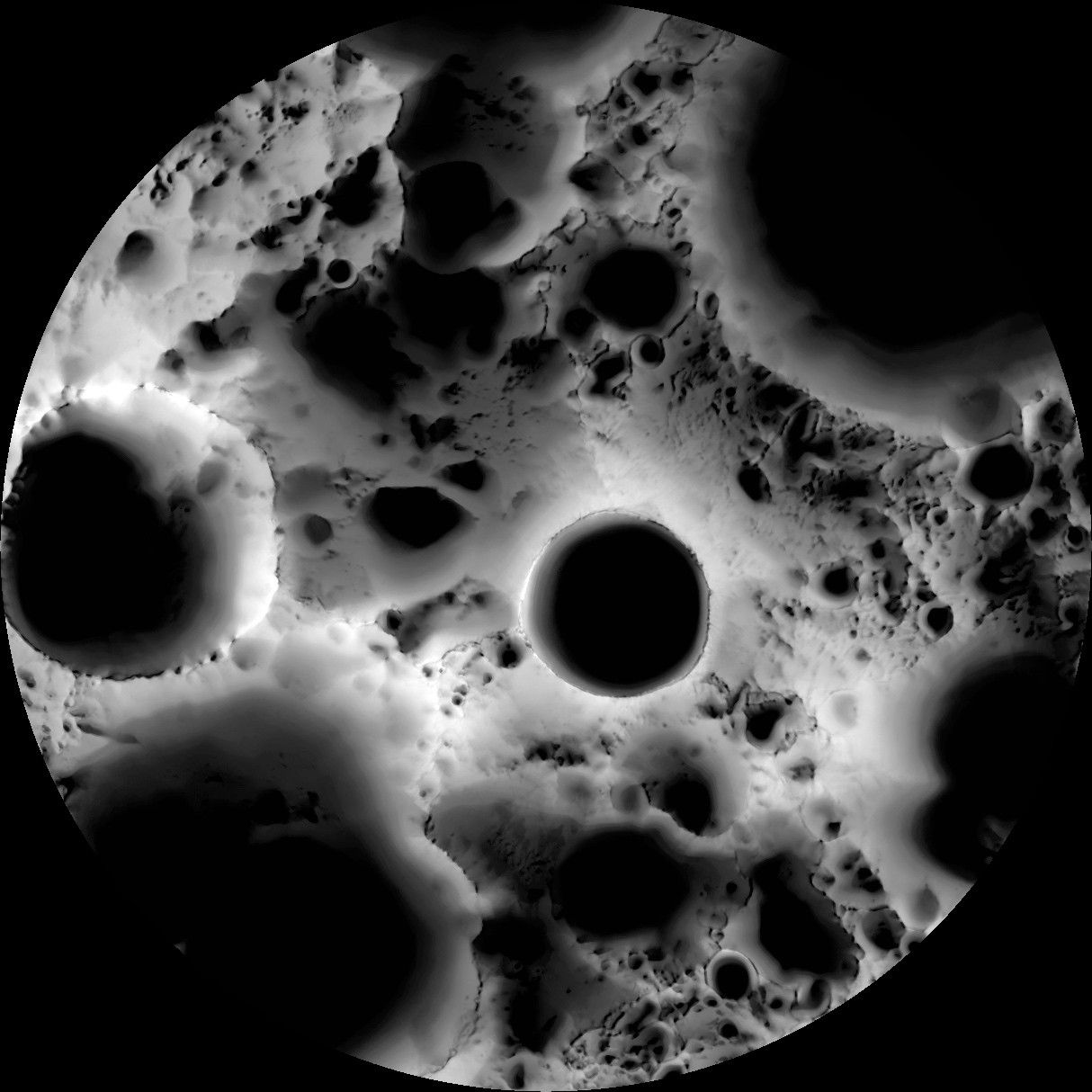
Illumination Map of the Moon’s South Pole
April 16, 2019
| Credit | NASA/GSFC/Arizona State University |
|---|---|
| Language |
|
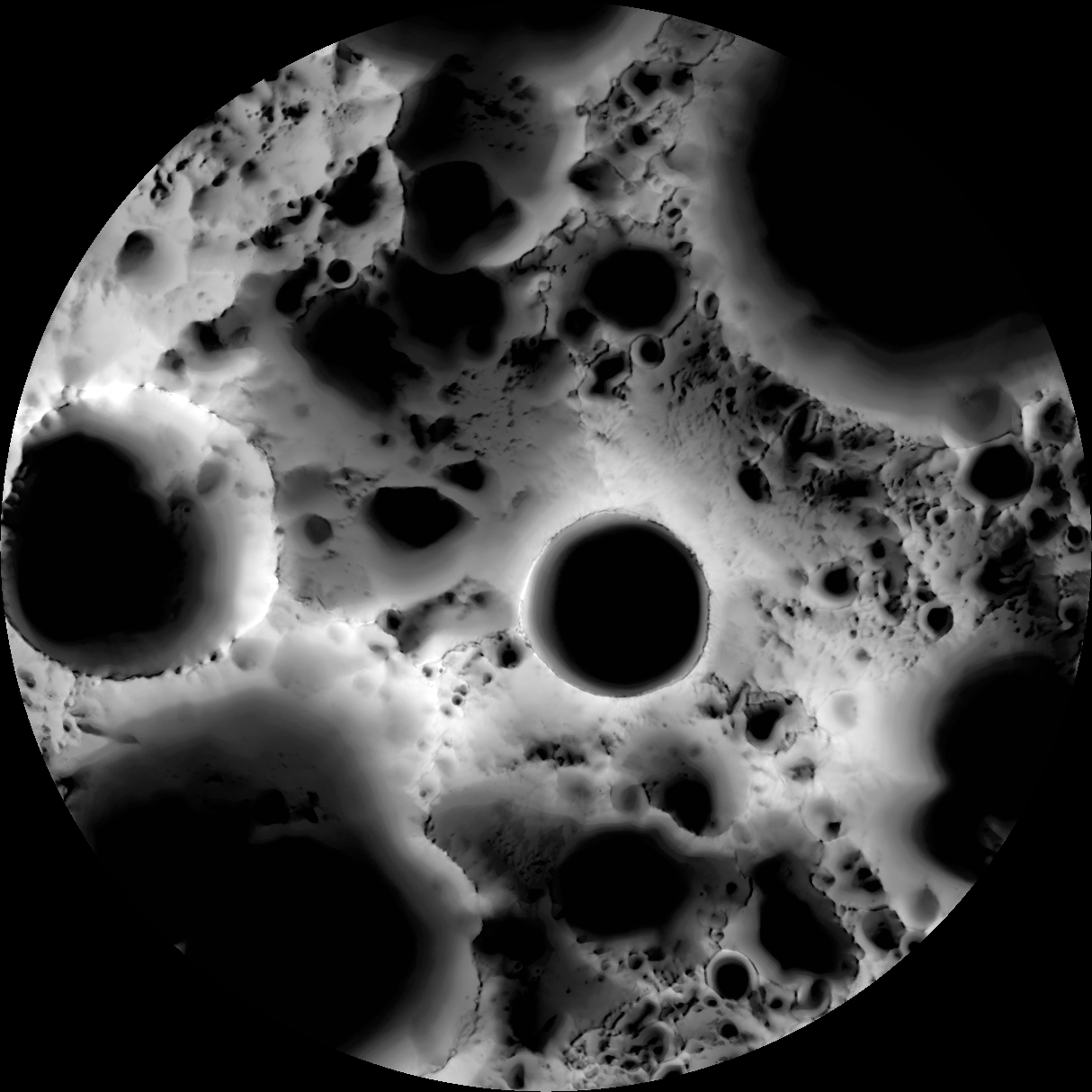
In this multi-temporal illumination map of the lunar south pole, Shackleton crater (about 12 miles or 19 kilometers in diameter) is in the center, and the south pole is located approximately at 9 o'clock on its rim. The map was created from images from the LROC camera aboard NASA's Lunar Reconnaissance Orbiter.


