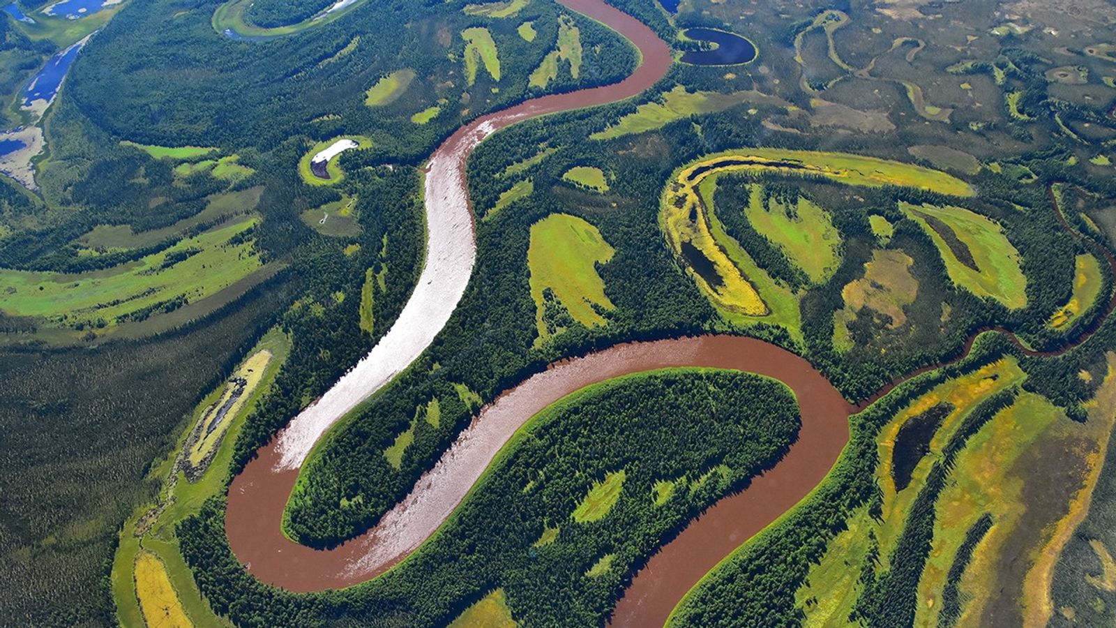
Kuskokwim River
| Credit | Peter Griffith, NASA |
|---|---|
| Language |
|
As part of the Arctic Boreal Vulnerability Experiment (ABoVE), NASA scientists are flying over Alaska and Canada, measuring the elevation of rivers and lakes to study how thawing permafrost affects hydrology in the landscape.
This view of the Kuskokwim river, in southwest Alaska, was taken from NASA’s DC-8 “flying laboratory” as part of the Active Sensing of CO2 Emissions over Nights, Days and Seasons (ASCENDS) experiment.
Scientists on NASA’s Air Surface, Water and Ocean Topography (AirSWOT) mission have been flying over the same location, investigating how water levels in the Arctic landscape change as permafrost thaws. Under typical conditions, the frozen layer of soil keeps water from sinking into the ground and percolating away. As permafrost thaws, the water has new ways to move between rivers and lakes, which can raise or lower the elevation of the bodies of water. These changes in water levels will have effects on Arctic life— plants, animals, and humans—in the near future.


