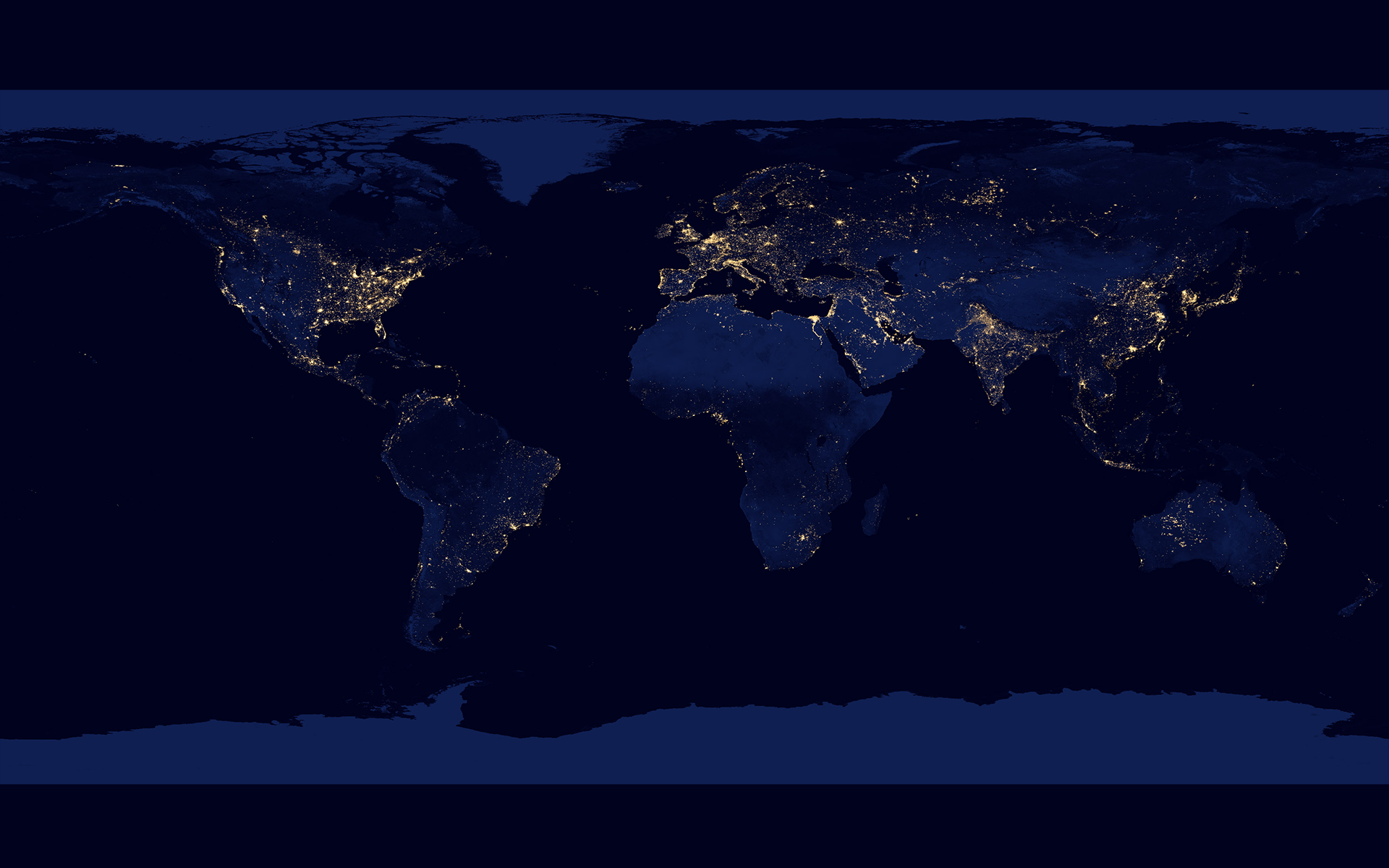
Night lights, big cities
December 3, 2013
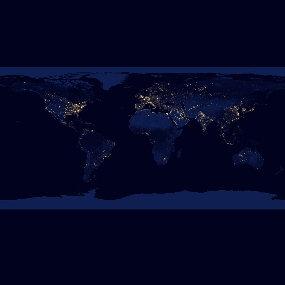
| Credit | Image from NASA’s Earth Observatory; created by Robert Simmon using data from the Suomi National Polar-Orbiting (NPP) satellite provided courtesy of Chris Elvidge (NOAA’s National Geophysical Data Center). Suomi NPP is a joint mission involving NASA, NOAA and the Department of Defense. Caption adapted from anoriginal caption by Mike Carlowicz. More on Earth’s nighlights can be found here.Source: NASA's Visible Earth |
|---|---|
| Language |
|
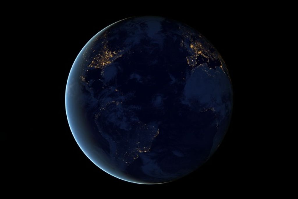
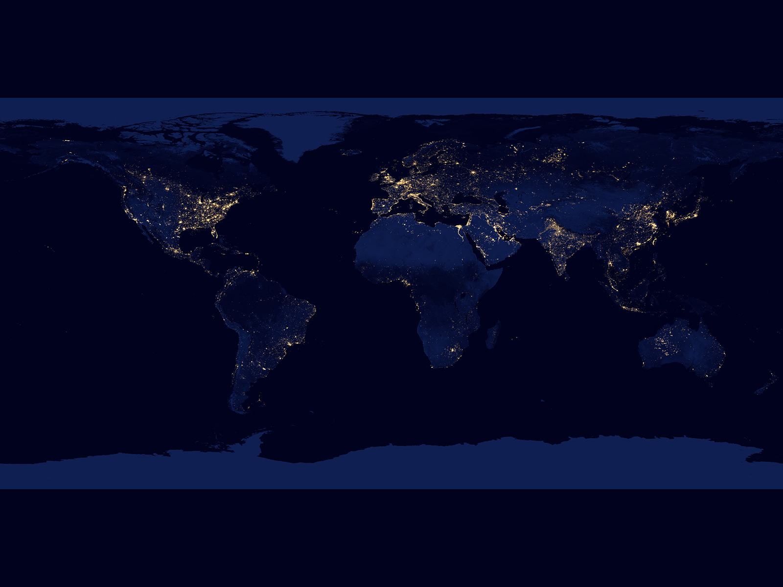
This map shows the bright lights of cities and wildfires set against the inky black backdrop of night. The image is actually a composite of satellite data collected over a number of days in April 2012 and October 2012, and is the result of 312 orbits and 2.5 TB of information. The lights seen here are not just from cities; they are also from wildifires, lightning, gas flares and reflected moonlight. Because the image is a composite of several days’ worth of data, fires and other points of light may have been picked up by the satellite and integrated into the composite image even though they were temporary, making some rural locations (such as in Australia) seem brighter than they really are on a typical day.


