


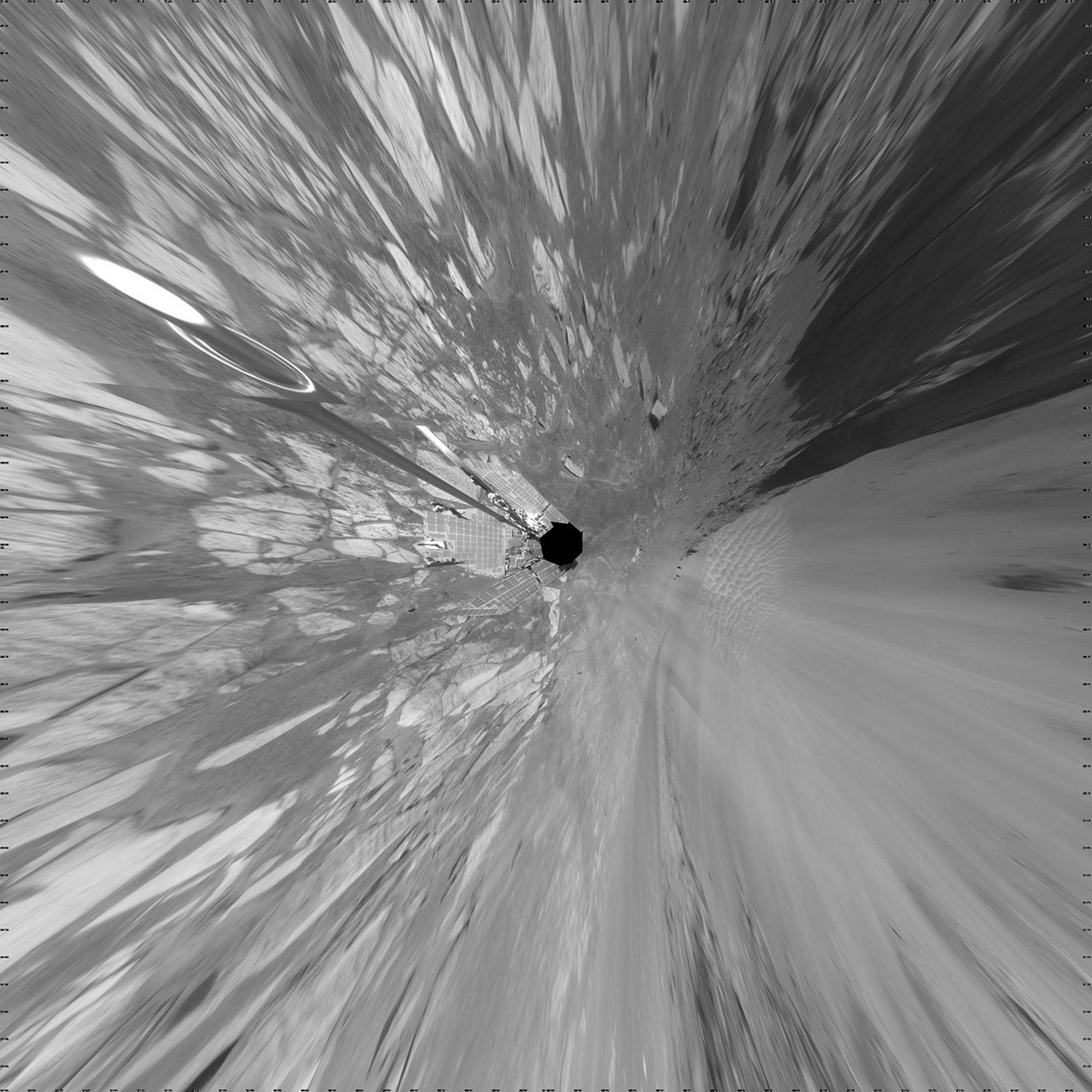
Opportunity’s View During Exploration in Duck Bay
| Credit | NASA/JPL-Caltech |
|---|---|
| Language |
|
NASA Mars Exploration Rover Opportunity used its navigation camera to take the images combined into this full-circle view of the rover's surroundings on the 1,506th through 1,510th Martian days, or sols, of Opportunity's mission on Mars (April 19-23, 2008). North is at the top.
This view is presented as a vertical projection with geometric seam correction.
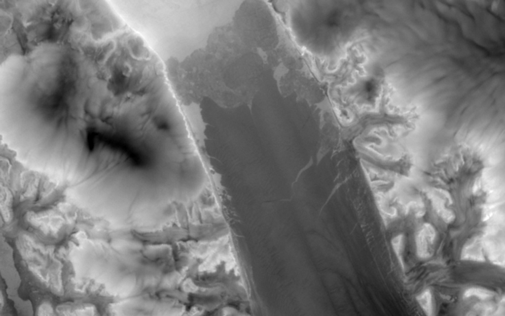
The site is within an alcove called "Duck Bay" in the western portion of Victoria Crater. Victoria Crater is about 800 meters (half a mile) wide. Opportunity had descended into the crater at the top of Duck Bay 7 months earlier. By the time the rover acquired this view, it had examined rock layers inside the rim.
Opportunity was headed for a closer look at the base of a promontory called "Cape Verde," the cliff at about the 2-o'clock position of this image, before leaving Victoria. The face of Cape Verde is about 6 meters (20 feet) tall. Just clockwise from Cape Verde is the main bowl of Victoria Crater, with sand dunes at the bottom. A promontory called "Cabo Frio," at the southern side of Duck Bay, stands near the 6-o'clock position of the image.
