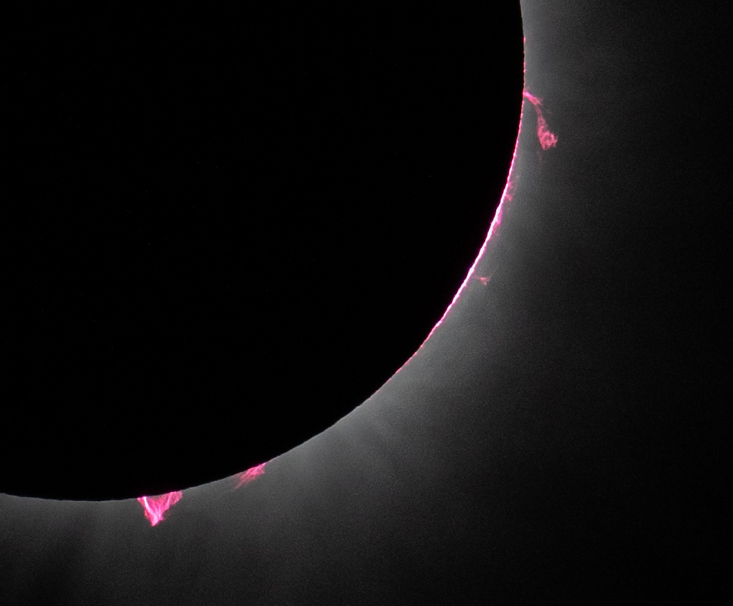
Wavy bands of clouds near Saturn's south pole dominate this ultraviolet image from the Cassini spacecraft. A bright wedge is visible near the lower left limb (apparent edge) of the planet. That wedge falls in a latitude band that borders a darker latitude band a little closer to the pole.
Viewing the limb of the planet in ultraviolet light allows researchers to sample the high part of the atmosphere (the stratosphere). Imaging scientists can discern from this image that the stratosphere in this latitude band is relatively pure hydrogen and helium and contains very little stratospheric haze, which causes darkening closer to the pole.
The image was taken on July 22, 2004, from a distance of 6.7 million kilometers (4.1 million miles) from Saturn. The image scale is 79 kilometers (49 miles) per pixel. Contrast was slightly enhanced to bring out features in the atmosphere.
The Cassini-Huygens mission is a cooperative project of NASA, the European Space Agency and the Italian Space Agency. The Jet Propulsion Laboratory, a division of the California Institute of Technology in Pasadena, manages the Cassini-Huygens mission for NASA's Science Mission Directorate, Washington, D.C. The Cassini orbiter and its two onboard cameras were designed, developed and assembled at JPL. The imaging team is based at the Space Science Institute, Boulder, Colo.
For more information about the Cassini-Huygens mission, visit http://saturn.jpl.nasa.gov and the Cassini imaging team home page, http://ciclops.org .
Image Credit:
NASA/JPL/Space Science Institute


