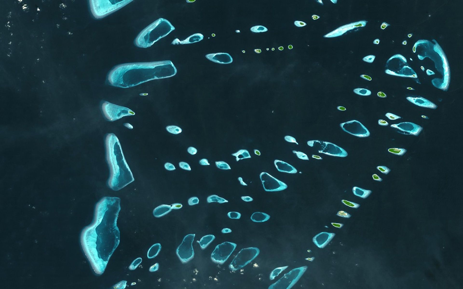
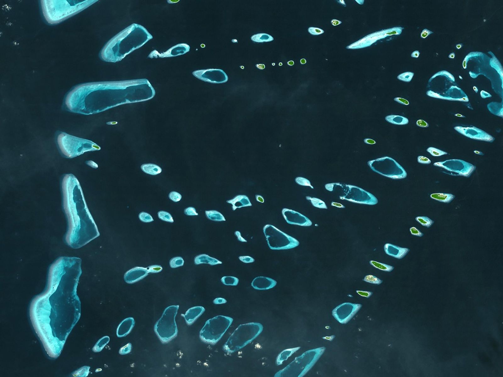
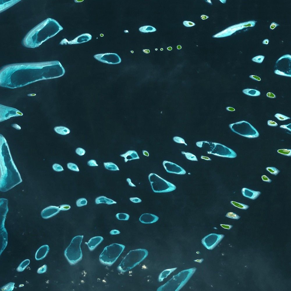
The Maldives
| Credit | Image taken by the Advanced Spaceborne Thermal Emission and Reflection Radiometer (ASTER) onboard NASA’s Terra satellite. Source: ASTER gallery. Courtesy of NASA Goddard Space Flight Center/Japanese Ministry of Economy, Trade and Industry/Japan Space Systems and the U.S./Japan ASTER Science Team. |
|---|---|
| Language |
|
This simulated natural-color image shows the North and South Malosmadulu Atolls in the Maldives, an island republic in the northern Indian Ocean, southwest of India. The Maldives consists of a chain of almost 1200 small coral islands that are grouped into clusters of atolls. It is home to about a third of a million people. Arguably the lowest-lying country in the world, the average elevation is 1 meter (3.3 feet) above sea level. Waves triggered by the great tsunami of December 2004 spilled over sea walls to flood the capital with sandy water and then swept out just as suddenly. Residents fear this was a foreboding of disasters to come from sea level rise due to global warming. The image was taken on 22 December 2002, and covers an area of 51 x 90 kilometers (32 x 56 miles).