


Landsat
Filters
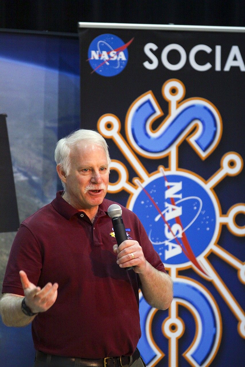
Landsat’s Jim Irons won the prestigious William T. Pecora Award. Irons, now an emeritus scientist at NASA Goddard Space Flight Center,…
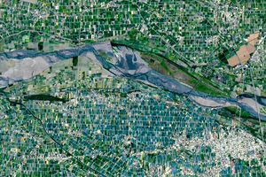
Diversity reigns across the farmland of Yunlin County in southwestern Taiwan—a region that produces an array of crops on small…

In two recent studies, researchers used Landsat data to fill key gaps in our knowledge of reservoir structure and dynamics.

The William T. Pecora Award is presented annually to individuals or teams using satellite or aerial remote sensing that make…
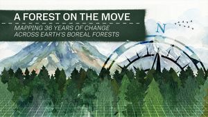
The boreal forest—the world’s largest terrestrial biome—is warming faster than any other forest type. New research uses Landsat data to…


NASA Scientist Alex Gardner highlights how Landsat made his research into the dynamics of glacial flow possible.
Landsat science highlights from the American Geophysical Union 2025 Fall Meeting (AGU25).

NASA satellites are helping Maine oyster farmers pick better sites and plan when oysters will be ready to harvest.
