


Mars
Filters
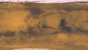
Image texture for 3D models. From Viking images processed at the USGS. From the database of JPL/Caltech generated planetary maps.…

Stereoscopic image. This panorama taken by NASA’s Mars Exploration Rover Opportunity includes an outcrop informally called Cambridge Bay. Opportunity examined…

Image texture for 3D models. From Viking images, processed at the USGS. From the database of JPL/Caltech generated planetary maps.…

Image texture for 3D models. From Viking images processed at the USGS. From the database of JPL/Caltech generated planetary maps.…
/Mars%20-%20Valles%20Marineris%20(C).png?fit=clip&crop=faces%2Cfocalpoint&w=300)
This STL file is a topographic model of a portion of Valles Marineris with vertical exageration, derived from data collected…

Spirit drove 4.8 miles (7.73 kilometers), more than 12 times the goal set for the mission. The drives crossed a…

Gusev is a crater on the planet Mars and is located at 14.5°S 175.4°E and is in the Aeolis quadrangle.…

Pahrump Hills is an outcrop at the base of Mount Sharp on Mars’ Gale Crater. The region contains sedimentary rocks…

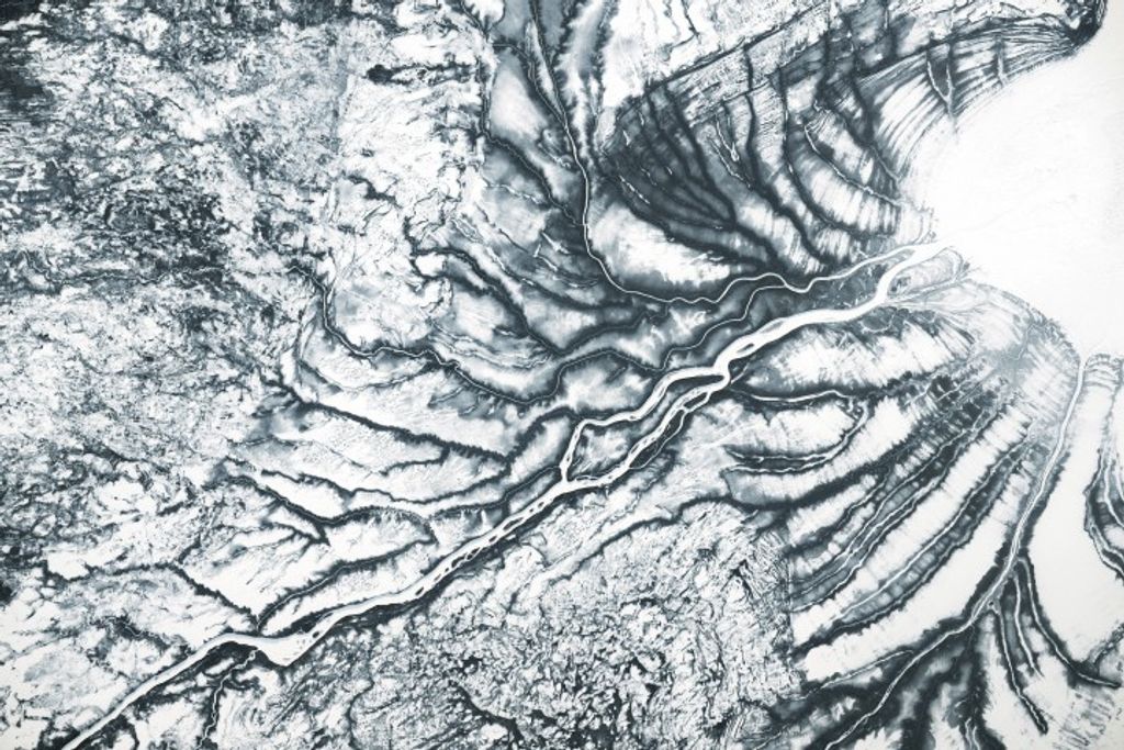
Meridiani Planum: Height map of the area around the Opportunity Rover landing site (263×356 km). Exaggerated in the Z axis…