This blog post originated in the 2015 Science Mission Directorate Technology Highlights Report (2 MB PDF).
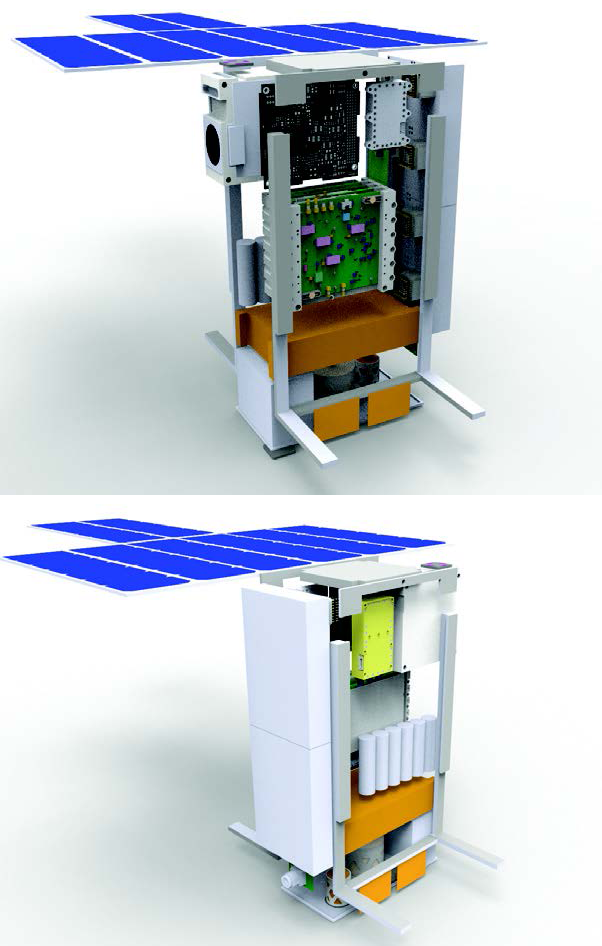
Technology Infused: The Lunar polar Hydrogen Mapper (LunaH-Map) mission is a CubeSat that will detect the amount of hydrogen at the moon’s South Pole.
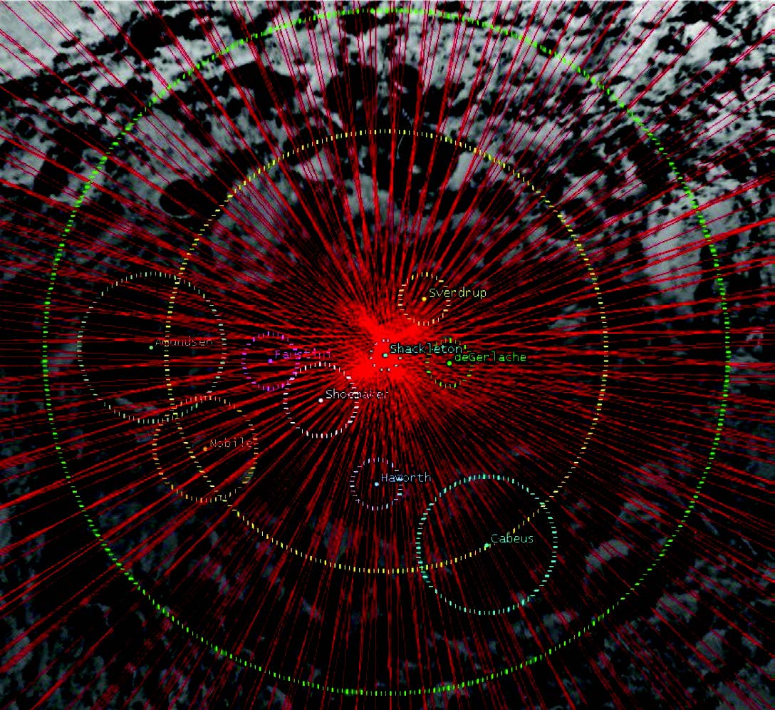
Designed to fly around the moon in a polar orbit at low altitude (5-12 km), LunaH-Map will carry two newly designed neutron spectrometers to produce highresolution maps of near-surface hydrogen. Previous moon missions have indicated that there is an abundance of hydrogen near the lunar poles, but the exact locations were not determined.
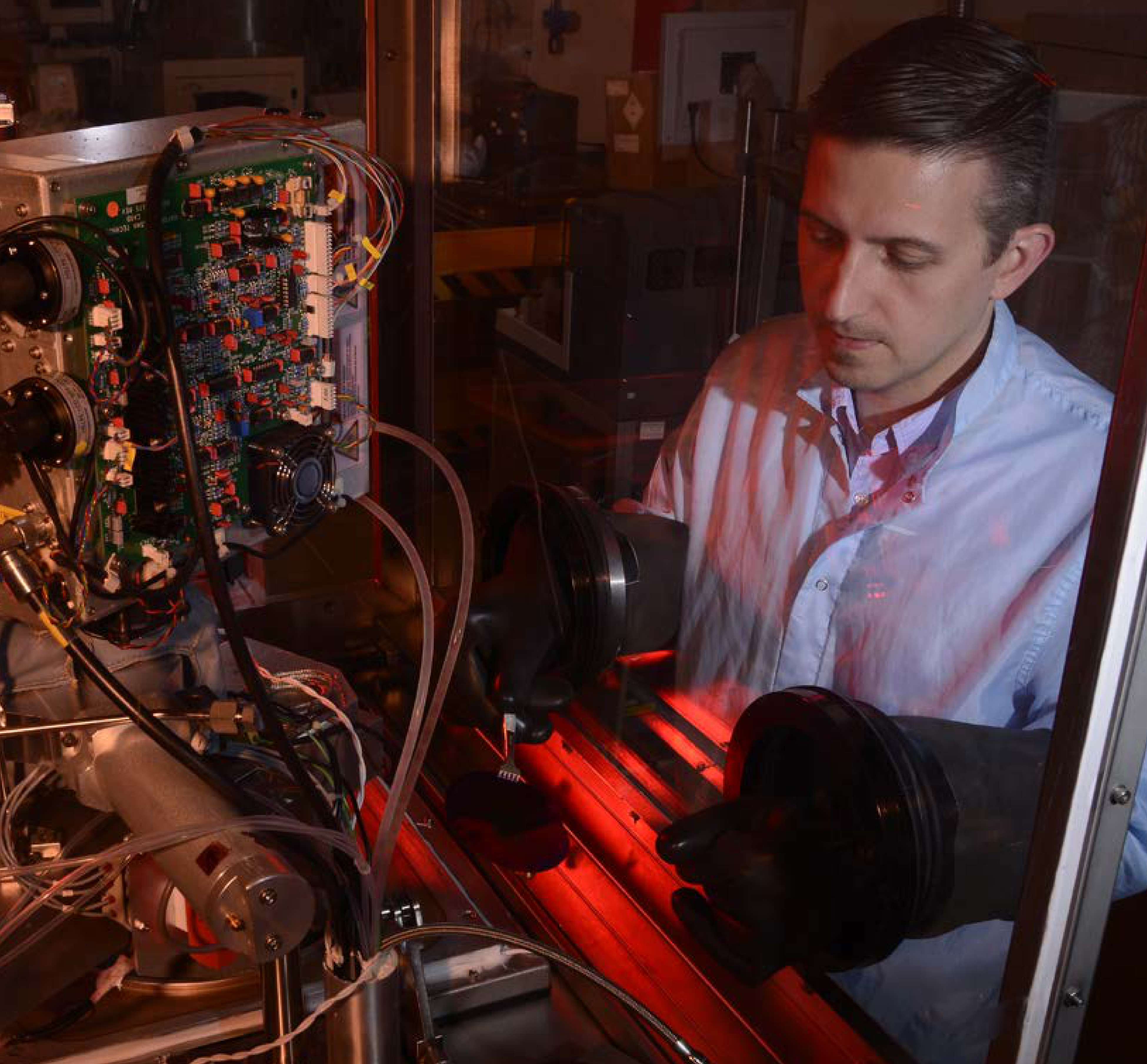
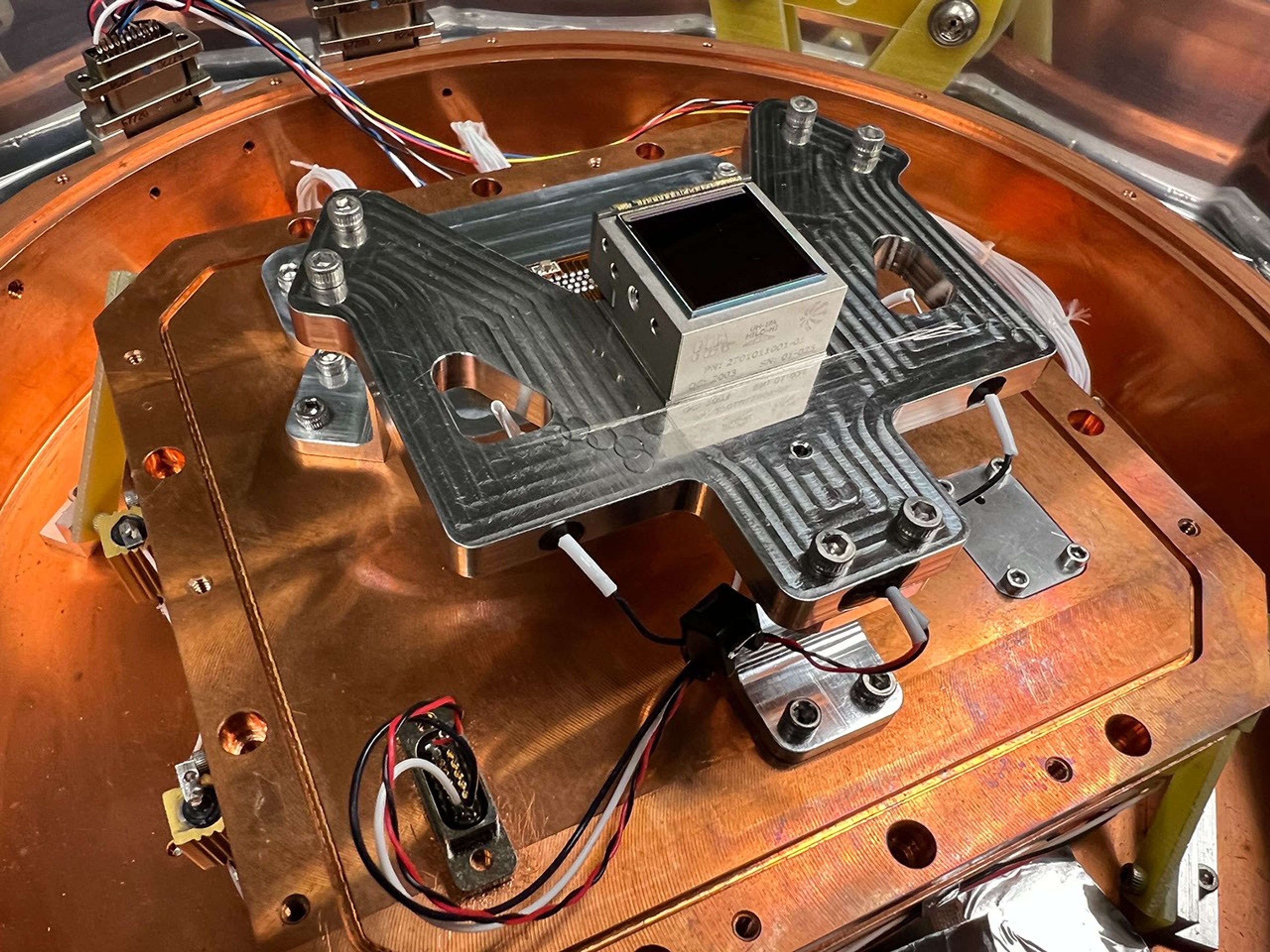
The presence of hydrogen indicates the presence of water, and LunaHMap will provide important constraints on the location and abundance of ice deposits near the lunar South Pole. The spectrometers on LunaH-Map will measure the energies of neutrons that have interacted with and subsequently leaked back out of the material in the top meter of the lunar surface. To accomplish this task, the mission will employ new technology—an elpasolite scintillation detector—in an array of neutron detectors mounted to one face of the spacecraft. These new detectors enable efficient neutron detection capability in a small package, making them ideal for use on a CubeSat platform.
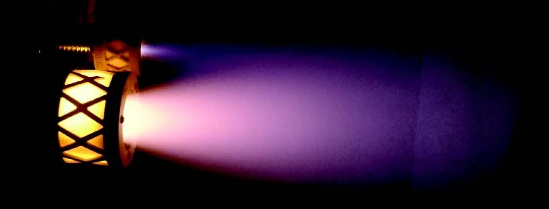
Impact: LunaH-Map will produce maps of hydrogen abundance with the highest spatial resolution ever acquired by a neutron detector from orbit, and will demonstrate the capability of a CubeSat platform to acquire neutron counts from planetary surfaces. Understanding the distribution of hydrogen on the surface of the moon will help NASA plan future missions to the moon, especially missions that will land on the surface. Knowing the location and volume of ice deposits will also be vital to future moon missions that plan to make use of in situ resources—for example, a human mission to the moon. LunaH-Map will also use a highly efficient ion propulsion system to maneuver itself from the Space Launch System (SLS) into a stable lunar orbit, and finally a science mapping orbit. LunaH-Map and Lunar IceCube will be the first two interplanetary CubeSats to demonstrate this technology in space on a small spacecraft platform.
Status and Future Plans: LunaH-Map is one of 13 CubeSats scheduled for launch on the first integrated flight of NASA’s Space Launch System and Orion spacecraft in 2018. LunaH-Map is being designed, built, and tested at Arizona State University. Industry partners will design, build, and deliver the spectrometers for integration into the spacecraft.
Sponsoring Organization: PSD provides funding for the LunaH-Map effort via the PICASSO program. PI, Craig Hardgrove, resides at Arizona State University. STMD’s SBIR program provides funding for technology development related to the detector component of the spectrometer to Radiation Monitoring Devices, Inc. and the ion propulsion system to Busek Co. Inc.

