Technology Development
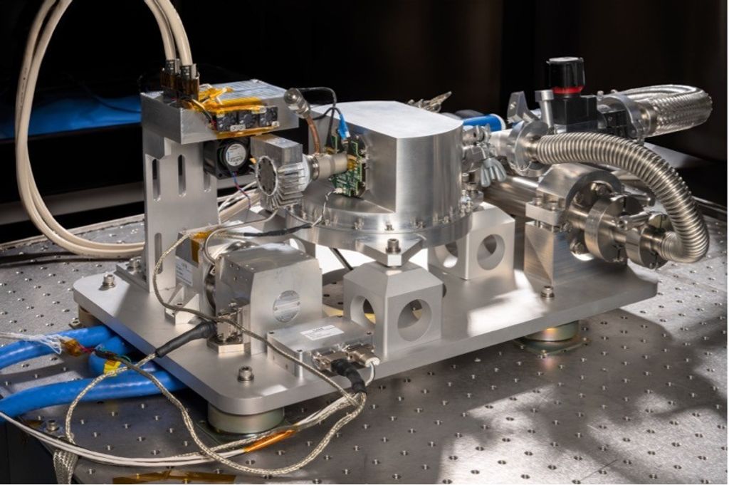
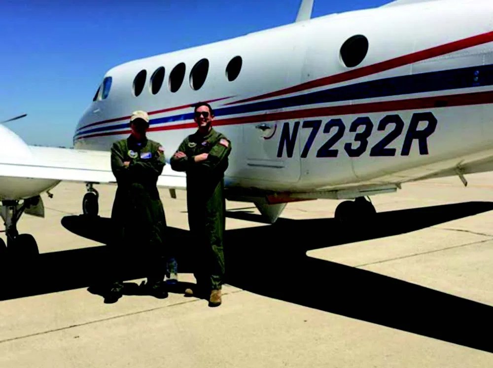
Researchers at NASA JPL have successfully built and demonstrated the first instrument capable of taking simultaneous measurements of ocean surface winds and water currents. DopplerScatt, a spinning Ka-band Doppler scatterometer, conducted several validation flights onboard a Department of Energy B200 aircraft in September 2016 over coastal Oregon and Washington.
Scientists study ocean surface currents because they impact heat transport, surface momentum and gas fluxes, ocean productivity, and marine biological communities. Ocean currents also have societal impacts because they affect shipping and disaster management (e.g., oil spills). There is an intrinsic two-way coupling between ocean currents and surface winds; concurrent measurements of the two enable the understanding of the relevant air-sea interaction. The primary goal of the September flights was to demonstrate DopplerScatt’s ability to take simultaneous measurements of ocean surface winds and water currents. The flights were also an opportunity to investigate the interaction between the Columbia River plume and ocean waters, fresh-water mixing and transport, and coastal ocean circulation.
Impact
DopplerScatt’s unique ability to simultaneously measure winds and currents improves the accuracy of both individual measurements. The airborne DopplerScatt lays the groundwork for an eventual spaceborne scatterometer with similar capabilities.
Status and Future Plans
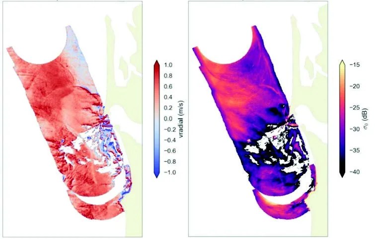
Although data from the flights is still being processed, the demonstrations appear to have been successful. Water current velocity was mapped around the Columbia estuary and the radar backscatter will be exploited to retrieve surface winds. Response from the science community has been positive and the instrument may be used to support a 2017 effort to study the effects of the Mississippi River on ocean mixing, circulation, and sediment and nutrient transport.
Sponsoring Organization
NASA’s Earth Science Division provides funding for DopplerScatt via the IIP to PI Dragana Perkovic-Martin at NASA JPL.

