


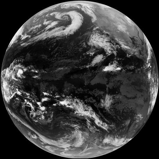
This thermal infrared image of the Western Hemispherewas captured by the Geostationary Operational Environmental Satellite(GOES) located over the equator at 135° west longitude at the#147;official” turn of the millennium—12:00 A.M. January 1, 2001at the International Dateline. The dateline is at 180° west longitude,near the left edge of this image.
More GOES images are available from the Goes Project Science web site.
References & Resources
Image courtesy GOES Science Team and Visualization Analysis Lab, NASA GSFC. Based on data from NOAA.


