June 13, 2003
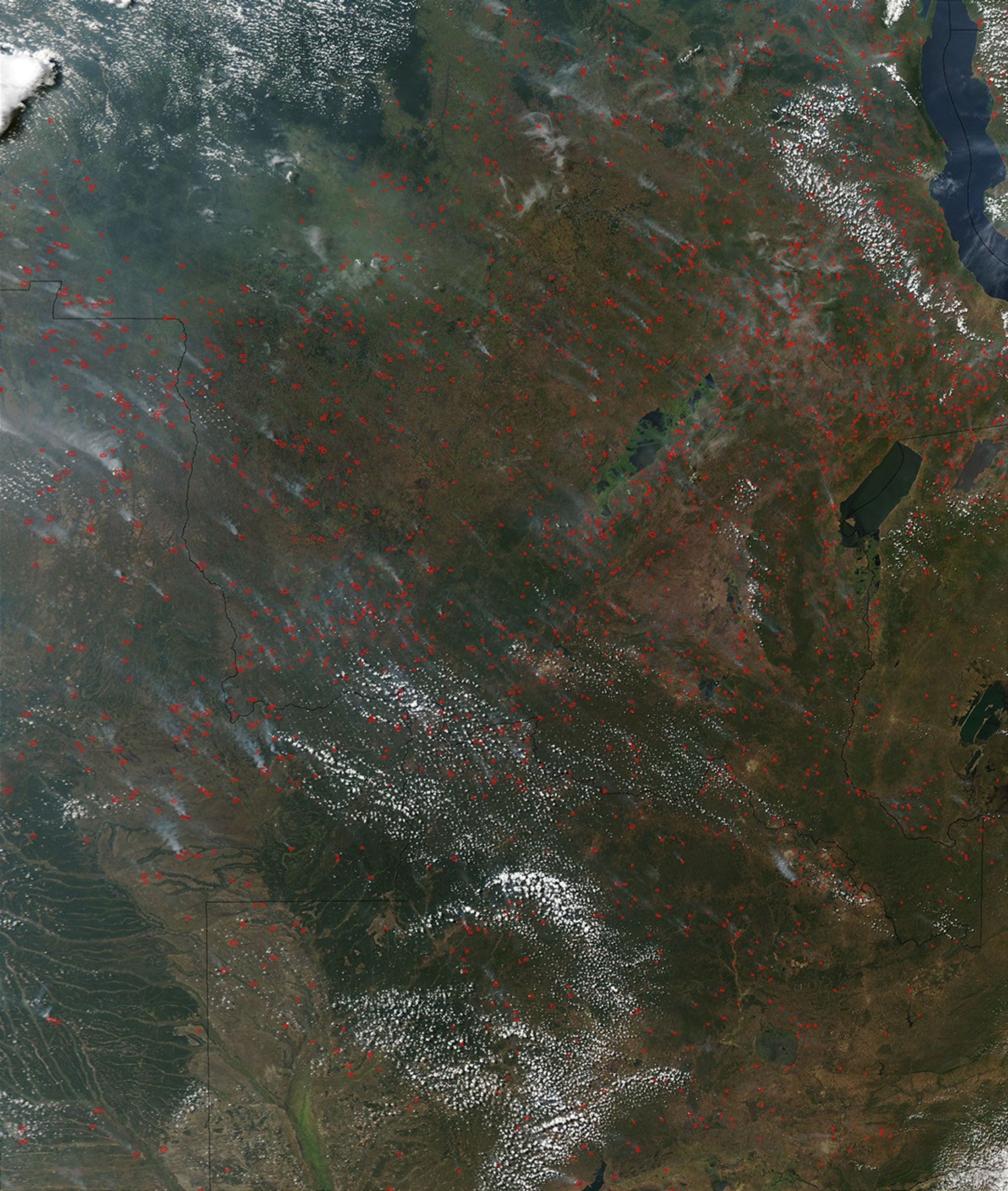
This true-color image of the varied terrain of central Africa is nearly hidden beneath the bright red markers of thousands of active fire detections captured by the Moderate Resolution Imaging Spectroradiometer (MODIS) on the Aqua satellite on June 13, 2003. Across Democratic Republic of Congo (top), Zambia (right edge), and Angola (left edge), fire season is in full swing, as farmers and ranchers use fire as a resource management tool as they have for possibly thousands of years.
The high-resolution image provided above is 500 meters per pixel. The MODIS Rapid Response System provides this image at MODIS’ maximum spatial resolution of 250 meters.
References & Resources
Image courtesy Jeff Schmaltz, MODIS Rapid Response Team, NASA GSFC