September 4, 2003
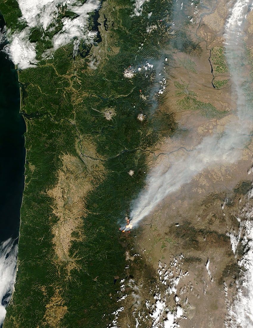
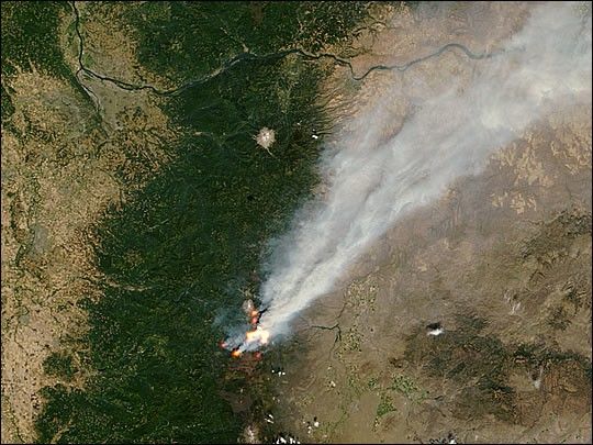
The B & B Complex Fire in the Cascade Mountains of central Oregon was very active on September 4, 2003. The acreage involved grew to more than 70,000 acres and Camp Sherman and places north were evacuated. This image of the fire captured by the Moderate Resolution Imaging Spectroradiometer (MODIS) on the Terra satellite at noon (local time) on September 4, shows the multiple actively burning sections of the fire marked in yellow.
The above image is 500 meters per pixel, and the large image shows a wider area of the Pacific Northwest. The MODIS Rapid Response System provides this image at MODIS’ maximum spatial resolution of 250 meters.
References & Resources
Image courtesy Jacques Descloitres, MODIS Rapid Response Team at NASA GSFC