







Suggested Searches

1 min read

Typhoon Sudal

Instruments:
Typhoon Sudal
April 14, 2004

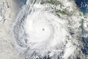
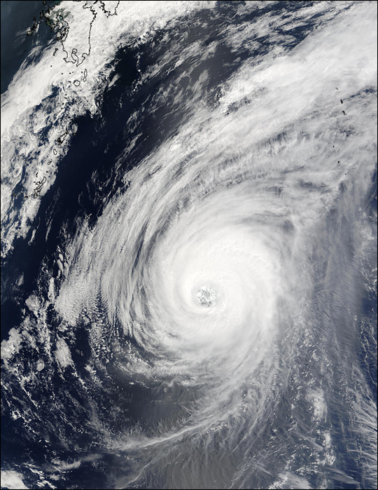
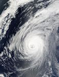
The MODIS instrument on board NASA's Terra satellite captured this true-color image of Typhoon Sudal on April 14 at 1:55 UTC. At the time this image was taken, Sudal was located approximately 547 miles west-southwest of Iwo Jima and was packing sustained winds of 117 mph with gusts to 132 mph. Sudal was moving northeast at 16 mph, and this movement was expected to continue over the next few days as the storm continues to weaken.

References & Resources

Image courtesy Jacques Descloitres, MODIS Land Rapid Response Team at NASA GSFC.
You may also be interested in:

Stay up-to-date with the latest content from NASA as we explore the universe and discover more about our home planet.

Super Typhoon Bavi
3 min read

The third category 5 tropical cyclone of 2026 crossed the U.S. Northern Mariana Islands and Guam before continuing toward Asia.

Article
The Pacific’s Busy Storm Season
5 min read

Super Typhoon In-fa developed an unusually large eye, and the remnants of Typhoon Champi transitioned into an extratropical storm that…

Article
Explosive Intensification for Hurricane Polo
5 min read

Several ingredients came together off the Pacific coast of Mexico to generate one of the strongest storms the eastern Pacific…

Article