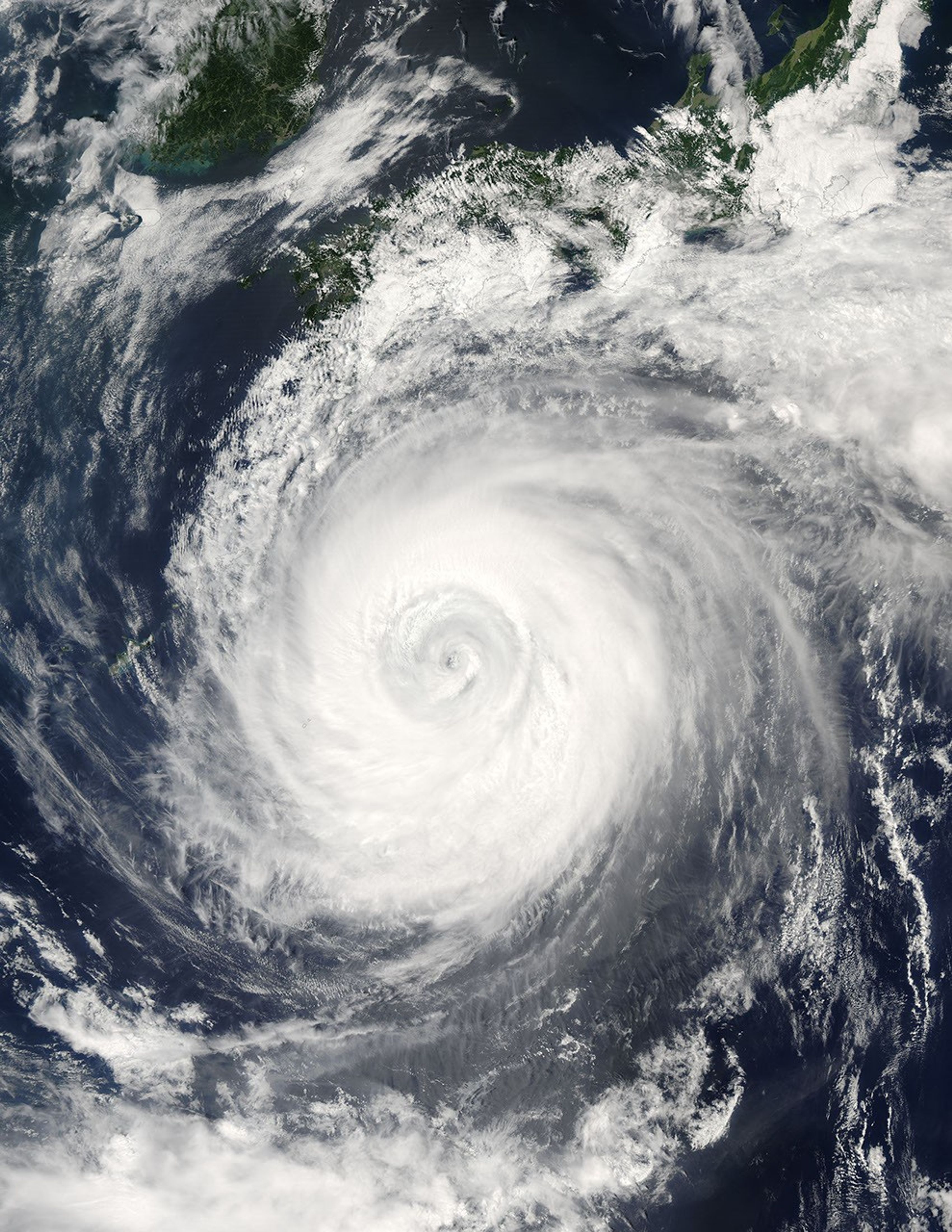
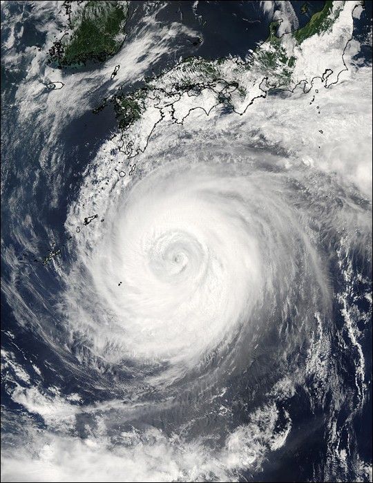
Suggested Searches

1 min read

Typhoon Chaba

Instruments:
2004-08-28 00:00:00
August 28, 2004

The MODIS instrument aboard NASA's Aqua satellite captured this true-color image of Typhoon Chaba on August 28 at 4:15 UTC. At the time this image was taken, Chaba was located approximately 685 km (426 miles) southeast of Sasebo, Japan and was moving towards the northwest at 6 km/hr (3 mph). Maximum sustained winds were near 213 km/hr (132 mph) with higher gusts to 259 km/hr (161 mph)

The MODIS Rapid Response System provides this image at additional resolutions and formats.

References & Resources

NASA image courtesy Jacques Descloitres, MODIS Land Rapid Response Team at NASA GSFC.

You may also be interested in:

Stay up-to-date with the latest content from NASA as we explore the universe and discover more about our home planet.

Ragasa Steers Toward China
3 min read

The super typhoon headed for Guangdong province after lashing Taiwan and northern Luzon in the Philippines.

Article
Fires Erupt in South-Central Chile 
2 min read

Tens of thousands of people fled to safety as blazes spread throughout the country’s Biobío and Ñuble regions.

Article
Winter Grips Japan
3 min read

The country's northern regions are accustomed to snow, but unrelenting storms have snarled transportation and caused other challenges this winter.

Article