


- October 11, 2004 [Aqua] (516 kB)
- September 28, 2004 [Terra] (388 kB)
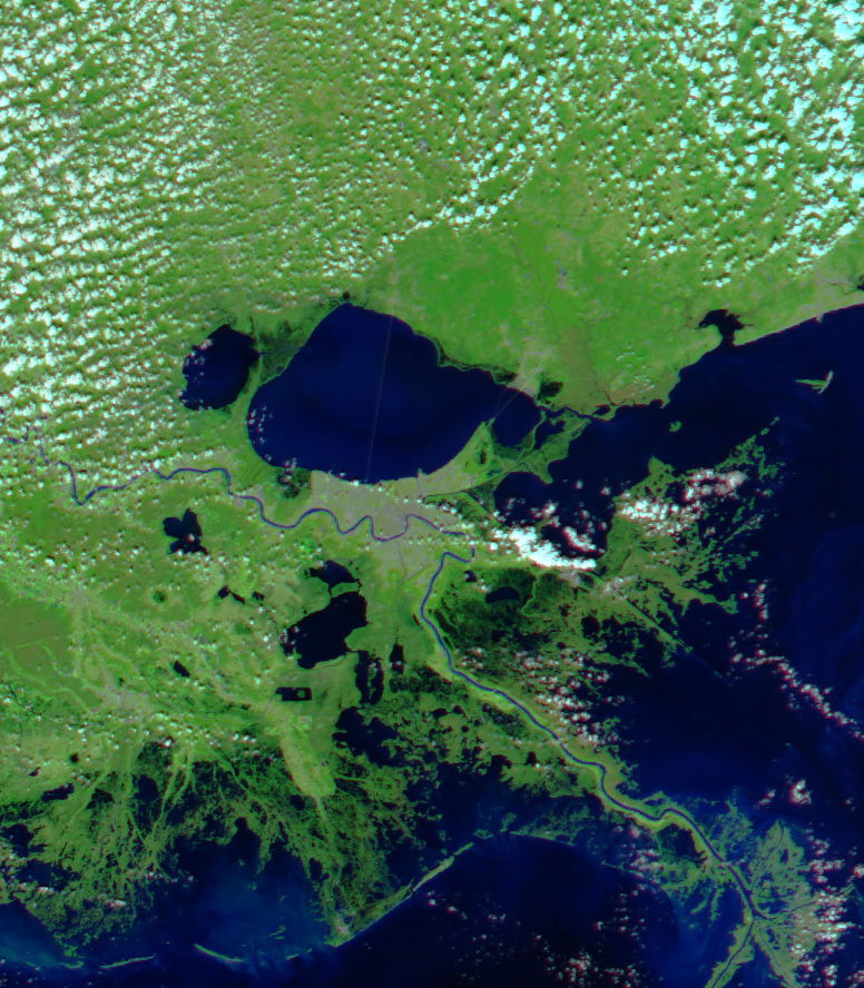
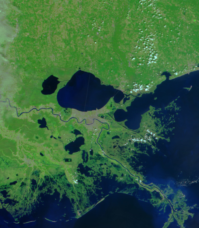
As much as 305 millimeters (12 inches) of rain fell over southeastern Louisiana when Tropical Storm Matthew blew ashore on October 10, 2004. Though little damage has been reported, the Moderate Resolution Imaging Spectroradiometer (MODIS) on NASAâs Aqua satellite detected extensive flooding along the coast and around Lake Pontchartrain, top center. In these false-color images, water is dark blue and black. The Mississippi River runs from the west through the center of the scene, passing through New Orleans, the grey colored area on the shores of Lake Pontchartrain. The worst of the flooding appears to be southeast of the city and directly east of the Mississippi River where black water covers land that was green on September 28, 2004. Extensive flooding is also visible around Lake Pontchartrain. Directly west of New Orleans a dark circle of water has puddled on the south side of the lake. The lakeâs western and northern shores are also dark with flood water. In these images, clouds are light blue and vegetation is bright green.
References & Resources
NASA image created by Jesse Allen, Earth Observatory, using data obtained from the MODIS Rapid Response team.


