




























November 17, 2004
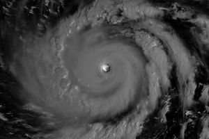
Typhoon Muifa spins off the eastern shore of Luzon in this Moderate Resolution Imaging Spectroradiometer (MODIS) image, acquired on November 17, 2004 by NASA’s Aqua satellite. The storm has already drenched the Philippine island of Catanduanes, causing floods and landslides, and is expected to turn west and cross over Luzon before the end of the week. Muifa reached typhoon status at about the time this image was taken at 4:55 UTC. By 12:00 UTC, the storm’s winds reached 139 kilometers per hour (86 mph) with gusts up to 167 kph (103 mph).
References & Resources
NASA image courtesy Jeff Schmaltz, MODIS Land Rapid Response Team at NASA GSFC