


October 20-November 5, 2022
Tornado Damage in Texas
On November 4, 2022, powerful supercell thunderstorms blew across northeastern Texas, southeastern Oklahoma, and western Arkansas. Preliminary damage assessments indicate that the storms produced at least 21 tornadoes, including some that caused extensive damage.
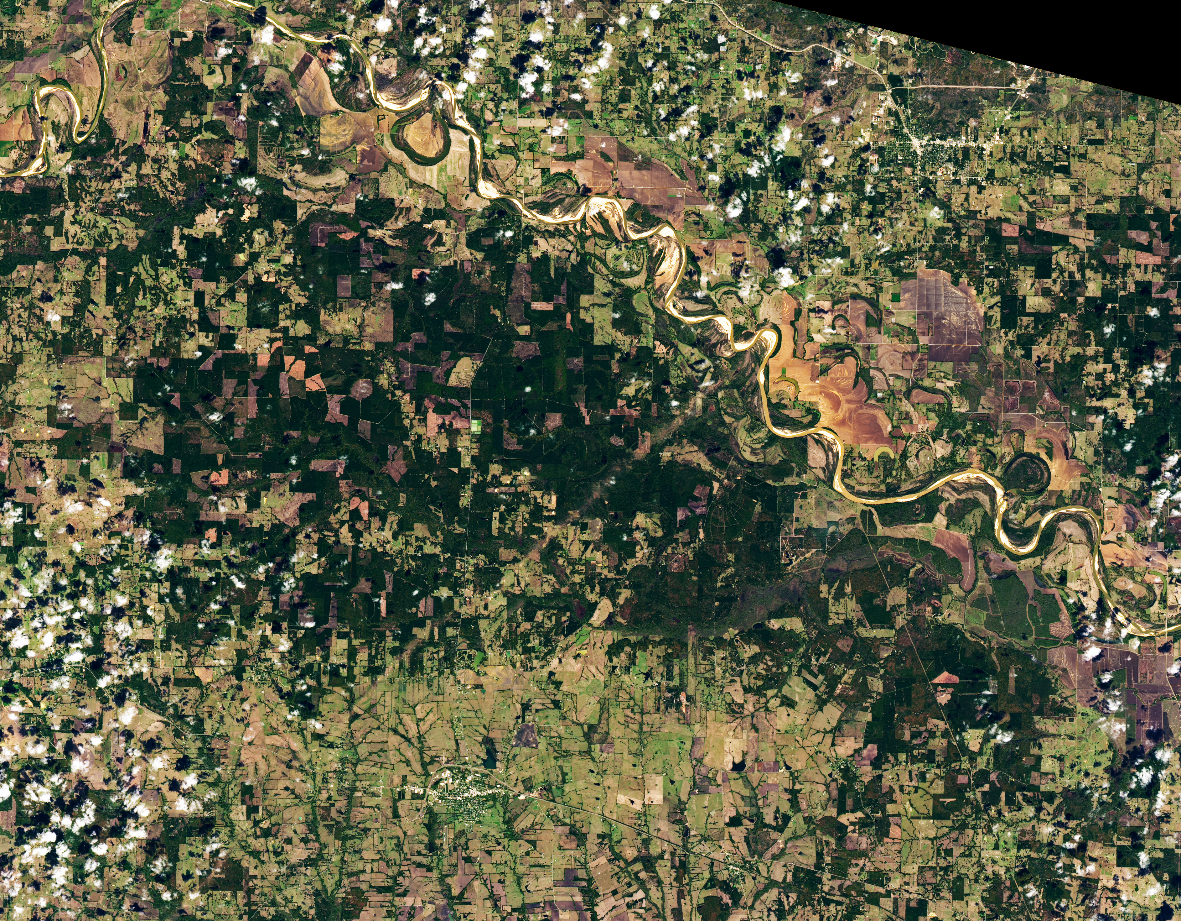
Among the most severe was a strong EF4 tornado that touched down near Clarksville, Texas, at 6:15 p.m. local time and left a wide line of damage as it moved toward Idabel, Oklahoma, over the course of an hour. On November 5, 2022, the Operational Land Imager (OLI) on Landsat 8 acquired this natural-color image (right) showing the damage track in Red River County, Texas. For comparison, the OLI image on the left shows the same area on October 20, 2022, prior to the tornado. Signs of damage are most visible where the tornado tore through forests (dark green). The track is more difficult to see in pastures and farmland (light green).

According to the National Weather Service’s Damage Assessment Toolkit, the tornado produced winds that reached speeds as high as 170 miles (270 kilometers) per hour. The twister destroyed large numbers of homes, peeled the roof off a factory, flattened a church, and snapped and uprooted trees along a track that extended 58 miles (93 kilometers). Dozens of people were injured and some were killed, according to news reports. Idabel, Oklahoma, (visible in this broader image) was among the hardest-hit towns, with at least 100 homes and businesses taking damage.
After previous storms, scientists with NASA’s Earth applied sciences disasters program have worked with National Weather Service offices to locate satellite images that can aid in damage assessments after tornadoes touch down.
References & Resources
- Accuweather (2022, November 5) Survivors still reeling from devastating Oklahoma tornado. Accessed November 8, 2022.
- KFOR (2022, November 5) Residents in Idabel affected by destructive Oklahoma tornado speak out. Accessed November 8, 2022.
- Live Storms Media (2022, November 5) 11-04-2022 Clarksville, TX - Violent Wedge Tornado. Accessed November 8, 2022.
- Magnolia Reporter (2022, November 7) Weather service compiles information on weekend tornado damage. Accessed November 8, 2022.
- Molthan, A. (2020) Incorporation and Use of Earth Remote Sensing Imagery within the NOAA/NWS Damage Assessment Toolkit. Bulletin of the American Meteorological Society, 101 (3), E323-E340.
- National Weather Service (2022, November 11) NWS Damage Survey for 11/04/22. Accessed November 8, 2022.
- NOAA (2022) Damage Assessment Toolkit. Accessed November 8, 2022.
- NOAA (2022, November 4) Storm Reports. Accessed November 8, 2022.
NASA Earth Observatory images by Lauren Dauphin, using Landsat data from the U.S. Geological Survey . Story by Adam Voiland .


