


February 11, 2022-February 14, 2023
Landslides in Türkiye
The magnitude 7.8 and 7.5 earthquakes that shook parts of Türkiye and Syria on February 6, 2023, caused widespread destruction, some of which extended beyond urban areas. In the days since the earthquakes struck, many new landslides became visible in satellite images.
The Operational Land Imager-2 (OLI-2) on Landsat 9 acquired an image (above-right) that shows a group of small landslides along a valley east of Sarıseki, Türkiye, on February 14, 2023. The other image (left), also from OLI-2, shows the same area on February 11, 2022, about a year before the earthquakes.
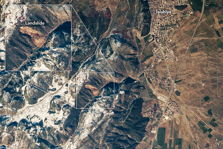
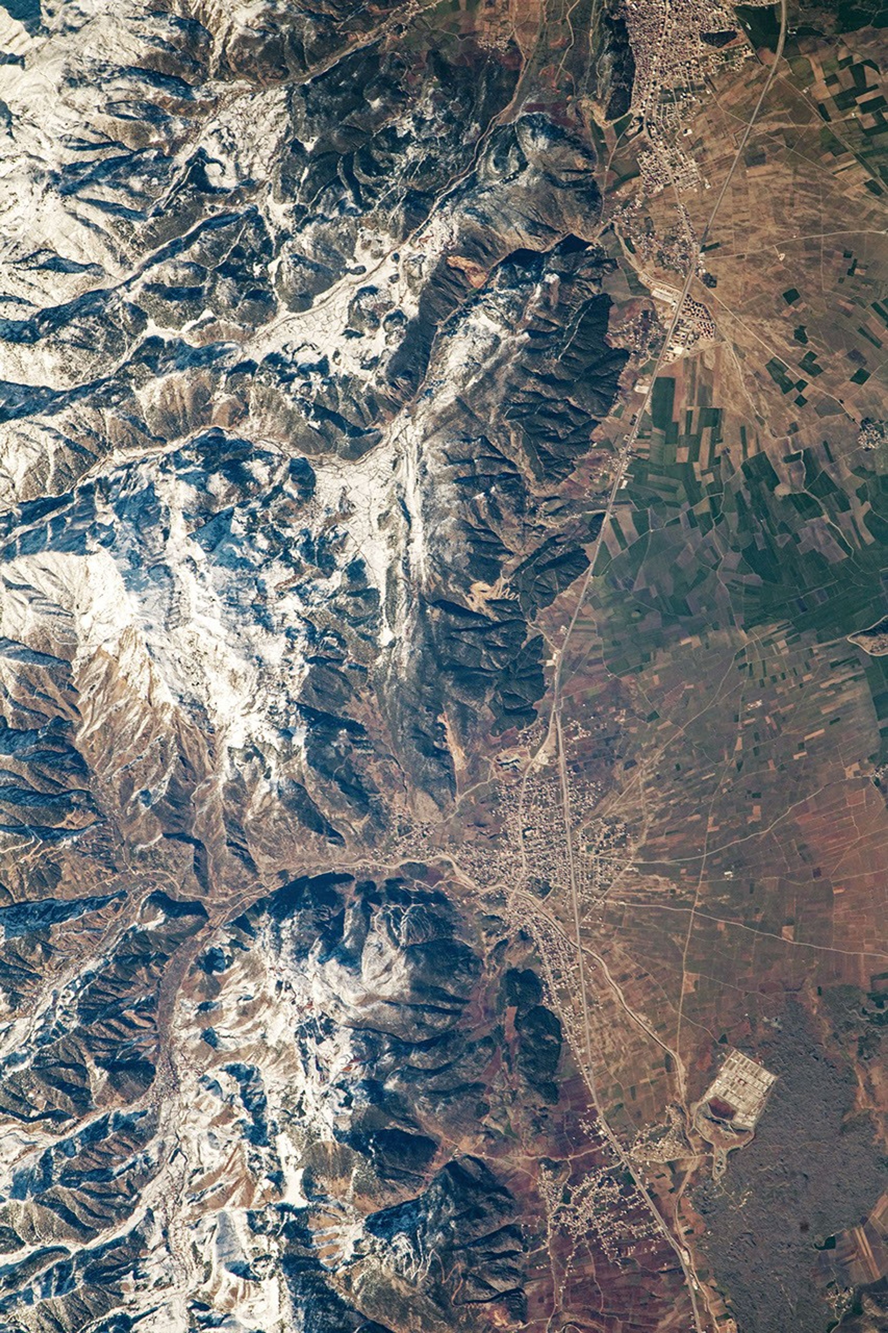
Also on February 14, 2023, an astronaut aboard the International Space Station took a photograph (below) of a landslide in a canyon near İslahiye, a town in Gaziantep Province in southeastern Türkiye. İslahiye is one of several towns and cities where large numbers of homes were damaged or destroyed by the earthquakes.
NASA’s Earth Applied Sciences Disasters program area is tracking developments related to the earthquakes and their aftermath and sharing maps, data, and scientific expertise with multiple stakeholders to aid ongoing response efforts and risk assessments.
One part of the team based at NASA’s Goddard Space Flight Center identified more than 100 landslides, including several in the valley near Sarıseki, using high-resolution data from Planet Labs. The landslide data were included in maps provided to World Central Kitchen to help the aid group deliver food and water to earthquake victims. As new information becomes available, the team is posting maps and data products related to the earthquake on its open access mapping portal.
References & Resources
- El País (2023, February 10) Islahiye, a city devastated by the earthquake: ‘We spend our days feeling thankful for being alive’. Accessed February 22, 2023.
- The International Charter Space and Major Disasters (2023, February 12) Preliminary Landslide Inventory Following 6 February 2023 Turkey-Syria Earthquake. Accessed February 22, 2023.
- The International Charter Space and Major Disasters (2023) Syria/Turkiye. Accessed February 21, 2023.
- NASA Earth Sciences Applied Sciences Program Disasters Program Area (2023) Türkiye & Syria Earthquakes 2023. Accessed February 21, 2023.
- NASA Earthdata (2021) Landslides Data Pathfinder. Accessed February 21, 2023.
- World Central Kitchen (2023, February 15) Over one million meals served one week after deadly Türkiye-Syria earthquakes. Accessed February 22, 2023.
NASA Earth Observatory images by Lauren Dauphin, using Landsat data from the U.S. Geological Survey . Astronaut photograph ISS068-E-53831 was acquired on February 14, 2023, with a Nikon D5 digital camera using an 1150 millimeter lens and is provided by the ISS Crew Earth Observations Facility and the Earth Science and Remote Sensing Unit, Johnson Space Center. The image was taken by a member of the Expedition 68 crew . The image has been cropped and enhanced to improve contrast, and lens artifacts have been removed. The International Space Station Program supports the laboratory as part of the ISS National Lab to help astronauts take pictures of Earth that will be of the greatest value to scientists and the public, and to make those images freely available on the Internet. Additional images taken by astronauts and cosmonauts can be viewed at the NASA/JSC Gateway to Astronaut Photography of Earth . Story by Adam Voiland .


