
January 5-February 14, 2023
Flooding Along the Orontes River


In the days after destructive 7.8 and 7.5 magnitude earthquakes struck southern Türkiye and western Syria on February 6, 2023, satellites observed flooding along the Orontes (Asi) River.
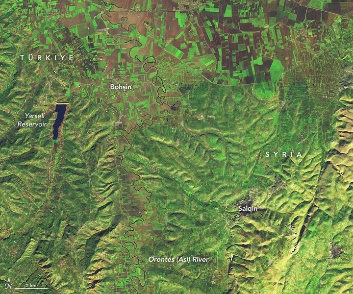
The Operational Land Imager-2 (OLI-2) on Landsat 9 captured an image above (right) that shows flooded farmland and communities along the river on February 14, 2023. The other image (left) from the Operational Land Imager (OLI) on Landsat 8 shows the same area on January 5, 2023, before the earthquake. Much of the flooding occurred about 100 kilometers (60 miles) south of the epicenter of the quake in the Idlib governorate of Syria.
Observations collected daily by the Moderate Resolution Imaging Spectroradiometer (MODIS) on NASA’s Terra and Aqua satellites indicate that floodwaters likely covered the most area on February 8-12. Significantly less floodwater was visible by February 20.
News outlets reported damage to some bean and wheat crops in the area, and the United Nations Office for the Coordination of Humanitarian Affairs reported that thousands of people were forced to evacuate their homes. Communities affected by the flooding include Et Tloul, Jisr al Maksūr, Al Mashrafīyah, Jakara, and Hamzīyah.
NASA’s Earth Applied Sciences Disasters program area is tracking developments related to the earthquakes and their aftermath. The NASA team is developing and sharing maps, data, and scientific expertise with multiple stakeholders to aid ongoing response efforts and risk assessments. As new information becomes available, the team is posting maps and data products related to the earthquake on its open access mapping portal.
References & Resources
- The International Charter Space and Major Disasters (2023) Syria/Türkiye. Accessed February 21, 2023.
- European Commission (2023, February 14) Syria - Dam break and floods(NOAA-CPC, UN OCHA, media floodlist). Accessed February 21, 2023.
- Floodlist (2023, February 13) Syria—Thousands Evacuate After Earthquake Damages River Dams in North. Accessed February 21, 2023.
- Middle East Eye (2023, February 13) Syria earthquake: Flooding wipes out vital farmland after dam bursts its banks. Accessed February 21, 2023.
- NASA Earth Sciences Applied Sciences Program Disasters Program Area (2023) Türkiye & Syria Earthquakes 2023. Accessed February 21, 2023.
- NASA Earth Sciences Applied Sciences Program Disasters Program Area (2023) Disasters Mapping Portal. Accessed February 21, 2023.
- NASA Earthdata (2021) Floods Data Pathfinder. Accessed February 21, 2023.
- ReliefWeb ( 2023, February 14) Syria - Dam break and floods (NOAA-CPC, UN OCHA, media floodlist) (ECHO Daily Flash of 14 February 2023). Accessed February 21, 2023.
NASA Earth Observatory images by Lauren Dauphin, using Landsat data from the U.S. Geological Survey . Story by Adam Voiland .