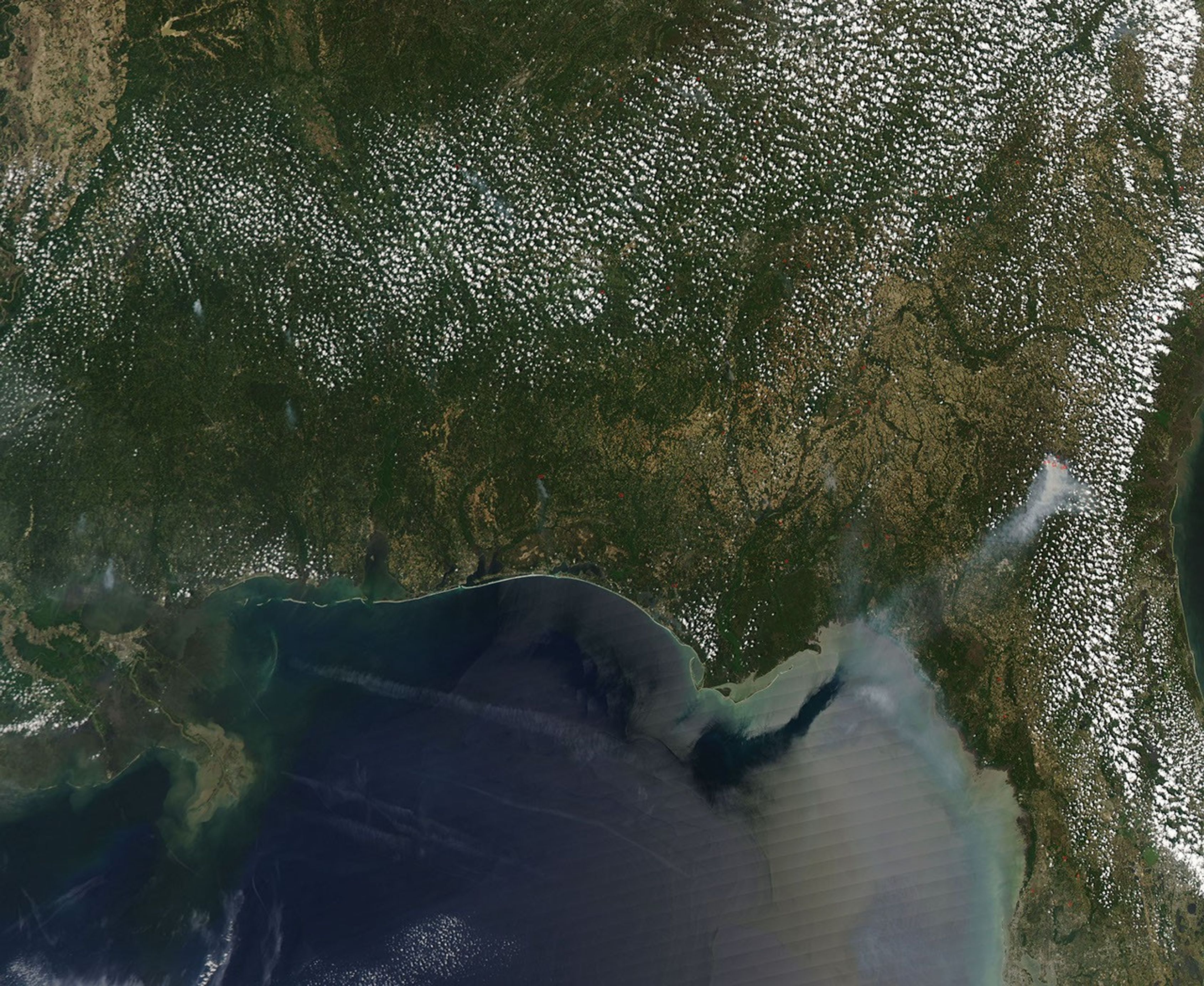
















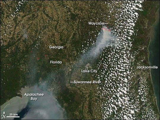
The Sweat Farm Road Fire continued to burn southwest of the town of Waycross, Georgia, on April 19, 2007, when the Moderate Resolution Imaging Spectroradiometer (MODIS) on NASA’s Aqua satellite passed overhead and captured this image. The locations where MODIS detected actively burning fire are outlined in red. A plume of smoke spreads southwest across the state line, over Lake City, across the Suwannee River, and out to Apalachee Bay.
On April 20, the Southern Area Coordination Center reported that the fire was about 25,000 acres and 30 percent contained. Erratic winds on the 19th caused the fire to be very active, racing through pine tree plantations and throwing off ten-foot flames off the tops of the young trees. Two thousand additional homes were evacuated in southern Waycross (nearly 800 had been evacuated in previous days), and forecasts indicated that the fire would be “active” to “very active” on the 20th.
The large image provided above has a spatial resolution (level of detail) of 250 meters per pixel. The MODIS Rapid Response Team provides twice-daily images of the region in additional resolutions and color combinations, including an infrared-enhanced version that highlights burned areas.
References & Resources
NASA image courtesy the MODIS Rapid Response Team, Goddard Space Flight Center