![Request for Information – Potential [Placeholder for Prize]](https://assets.science.nasa.gov/dynamicimage/assets/science/missions/a-step/FFR_Earth_Background_20251120%20.png?w=1024)


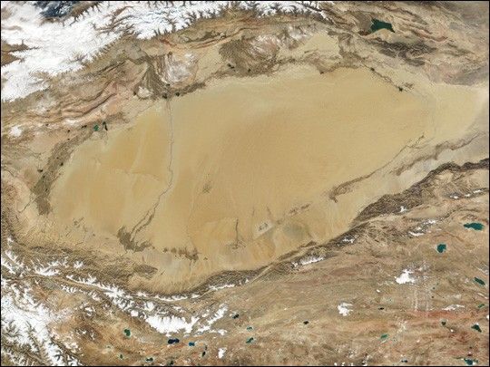
The Taklimakan Desert in northwest China is a vast region of sand desert sitting in a depression between two high, rugged mountain ranges. Seen in this true-color Moderate-resolution Imaging Spectroradiometer (MODIS) image from October 27, 2001, the Taklimakan’s rolling sand dunes stretch out over several hundred thousand square miles in the Xinjiang Region of China.
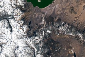
The Taklimakan Desert is hemmed in to the north by the snow-covered Tian Shan Mountain range and to the south by the rugged Kunlun Mountains. At the lower left corner of the image is the Karakoram Mountain range, where the world’s second highest mountain, K2, casts a blue shadow (see the high-resolution image for an up-close look).
Desertification and shifting sand dunes are a major concern for the farmers and herders who live at the Taklimakan’s edge. At the bottom of the image lies the Tibetan Plateau.
References & Resources
NASA Earth Observatory image courtesy Jacques Descloitres, MODIS Land Rapid Response Team at NASA GSFC