


An unusually wide swath of significant snow cover resulted from aseries of winter storms moving northeastward across the centralUnited States during January 29–31, 2002. Totalsnowfall accumulations across the Great Plains, Midwest, andGreat Lakes regions were as high as 6-18 inches. Along the southeastern edge of the heavy snowband, significant freezing rain resulted in a 1-3 inch coating ofice across parts of Oklahoma, Kansas, and Missouri. This was oneof the worst ice storms in Oklahoma history, downing 4,000 electricpower poles and causing loss of power to a quarter of a millionhomes and businesses.
The Moderate Resolution Imaging Spectroradiometer (MODIS) aboard the Terra satellite produced an image of the area on February 1, 2002.In visible wavelengths (above, top) the ice appears transluscent,in contrast to the bright white snow and darker ground. The ice is visible as athick black stripe along the lower right edge of the medium gray snow in thenear infrared image (above, lower). Because water absorbs near-infrared light so strongly,bare ground is actually brighter than the snow in this image.
full resolution image (1.1 MB JPEG)
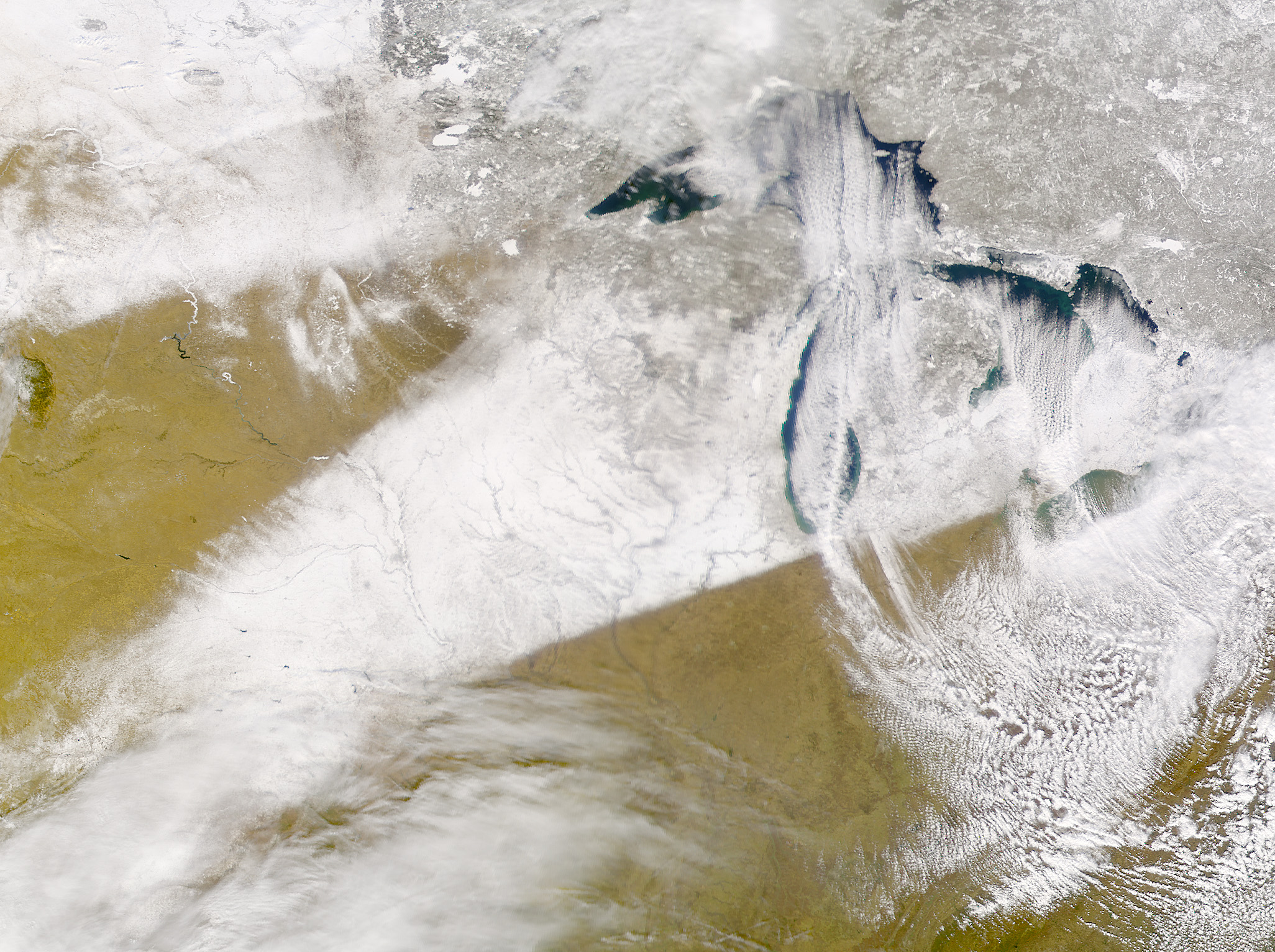
A clear, dry wind from the north blew southward across the Great Lakesyesterday, picking up moisture from the lakes and pushing it high intothe air. The resulting cloud formation can be seen in this image ofUnited States taken on February 4, 2002, by the Sea-viewing WideField-of-view Sensor (SeaWiFs) aboard the OrbView-2 satellite. The cloudformation stretches across Indiana, Ohio, and northeastern Pennsylvaniabefore stopping abruptly at central and southern Appalachian Mountains.
A band of snowfall can also be seen lying across southern Nebraska,Oklahoma, Iowa, and Michegan. The crisp, straight boundaries of the snoware easily discernable in the image. In general, clouds appear streakyand uneven on a satellite image, and snow cover appears solid withdefinable borders.
References & Resources
MODIS image courtesy University of Wisconsin Space Science and Engineering Center, and the MODIS Science Team SeaWiFS image courtesy the SeaWiFS Project, NASA/Goddard Space Flight Center, and ORBIMAGE
None


