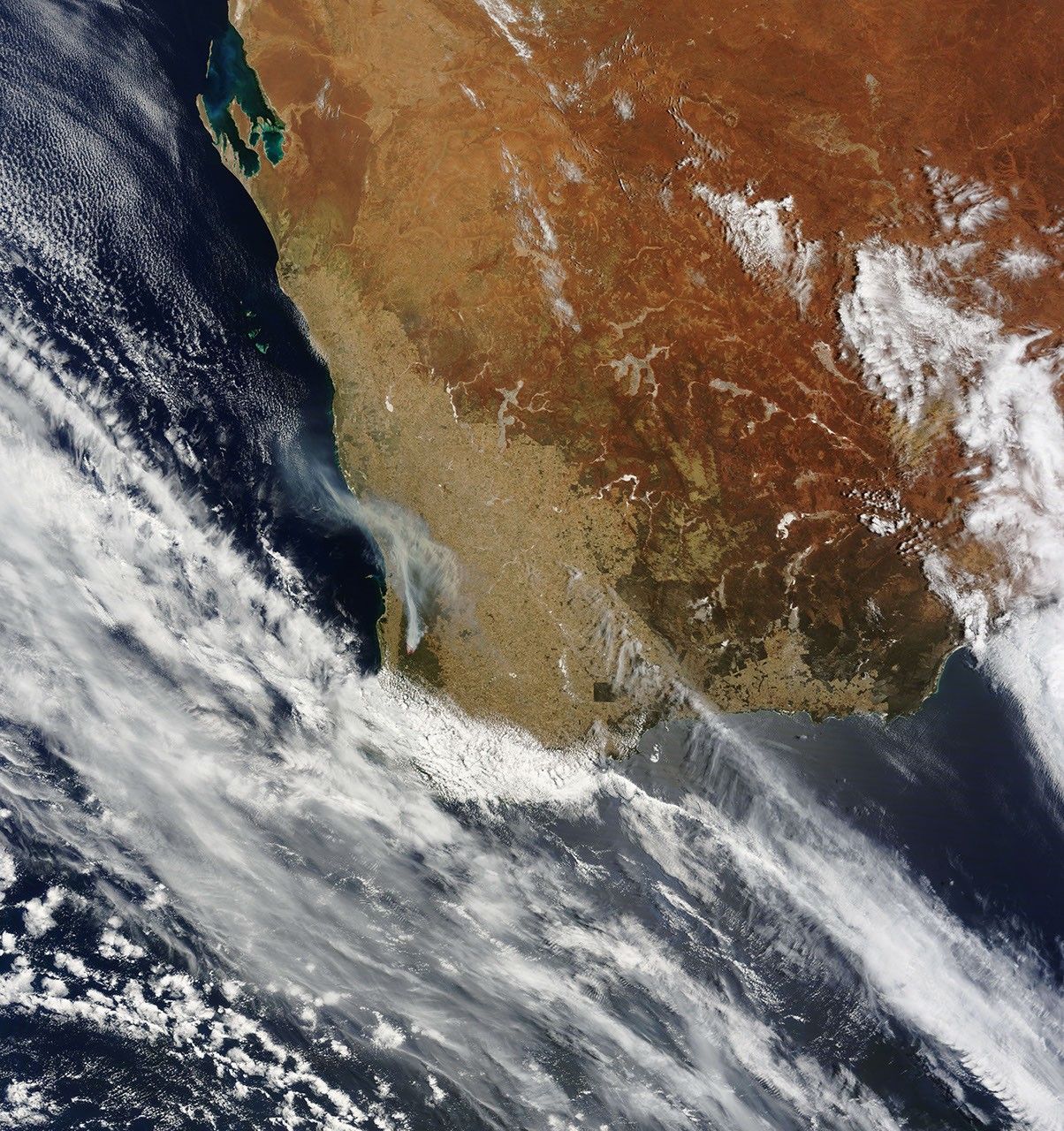
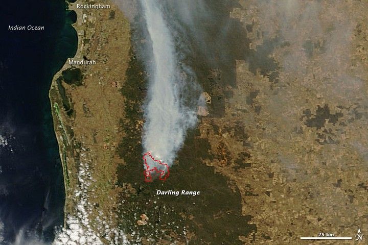
A bushfire considered “suspicious” by the Fires and Emergency Services Authority of Western Australia was reported on Sunday, December 13, 2009, in state forest near Dwellingup, Western Australia. When the Moderate Resolution Imaging Spectroradiometer (MODIS) on NASA’s Terra satellite captured this view on December 15, the fire was billowing a thick plume of smoke to the north. The fire was in a remote area and wasn’t threatening private property; however, its behavior was described as “erratic due to heavy fuel loads.”
The large image provided above is at MODIS’ maximum spatial resolution (level of detail), which is 250 meters per pixel. Twice-daily images of southern Western Australia are available from the MODIS Rapid Response Team in additional resolutions and formats, including a false-color version that highlights the location of burn scars.
References & Resources
NASA Earth Observatory image created by Jesse Allen, using data provided courtesy of the MODIS Rapid Response team. Caption by Rebecca Lindsey.