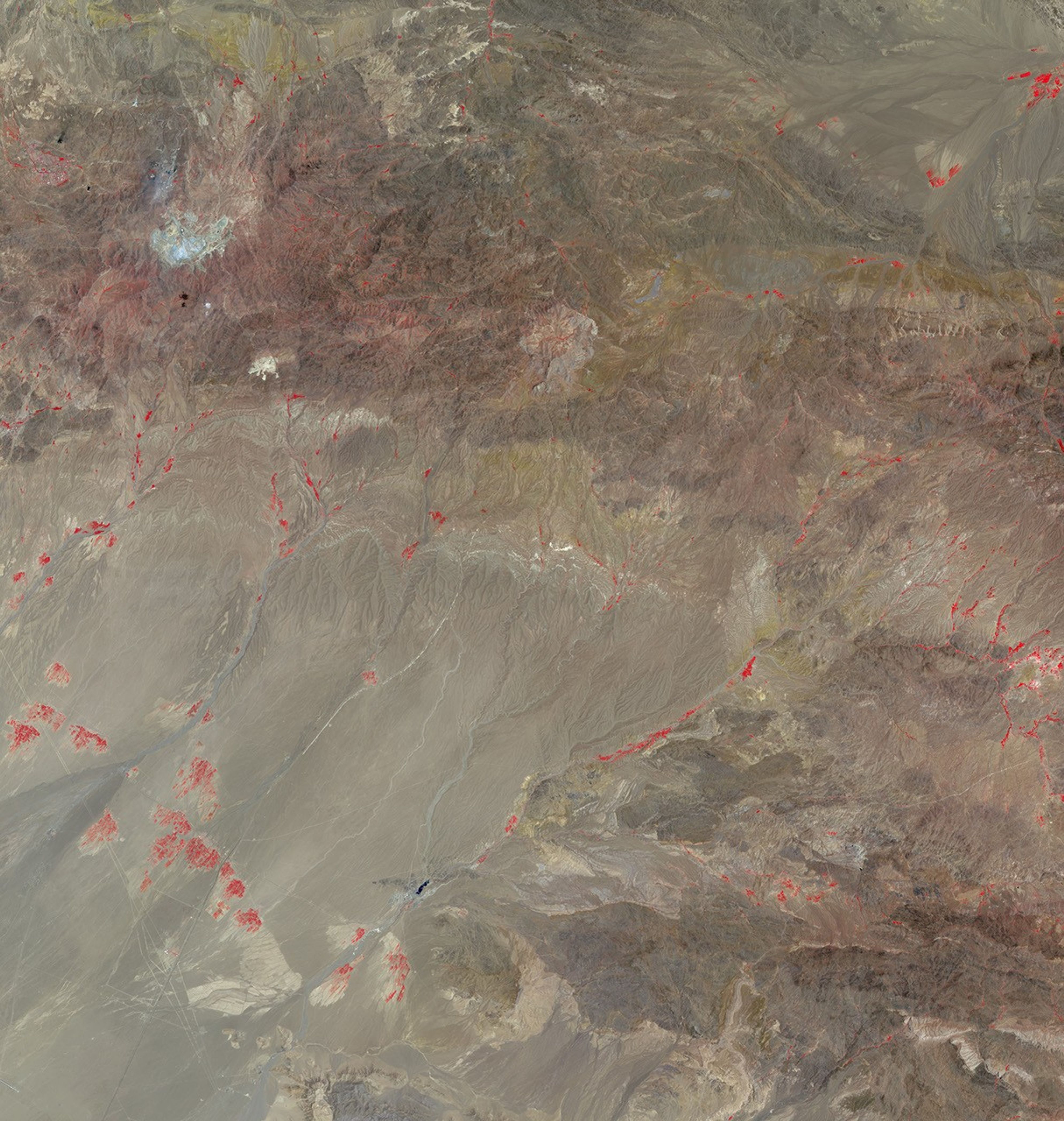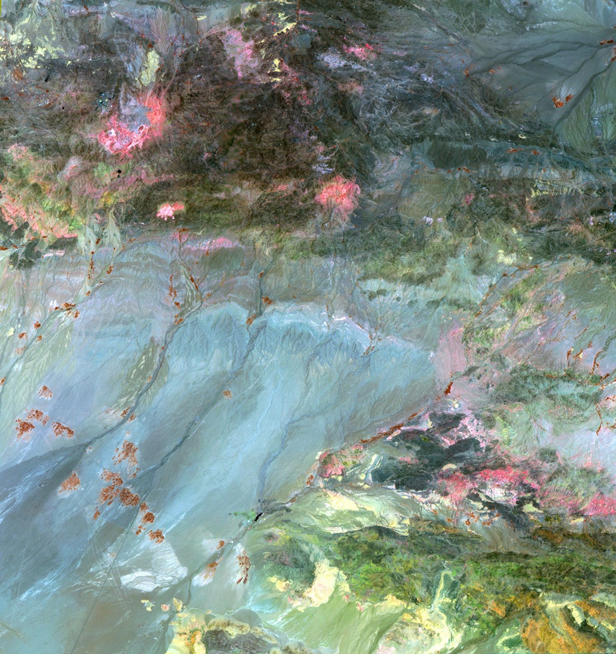
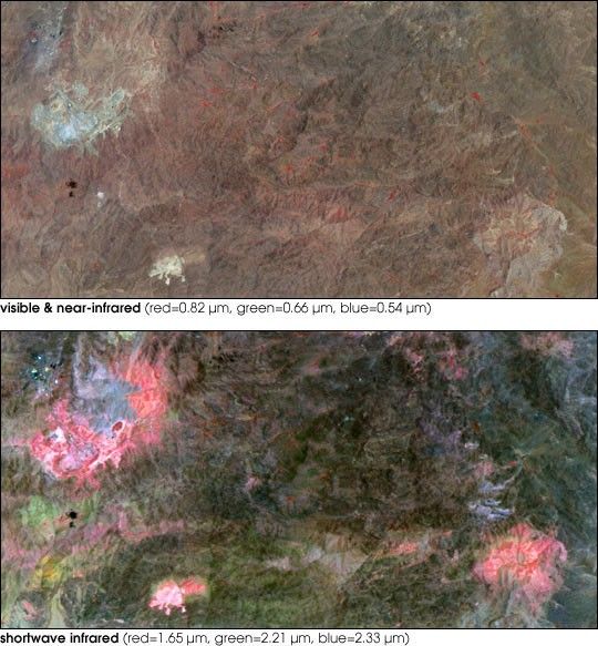
Mining for ore has come a long way in the last century. The above images, taken by the Advanced Spaceborne Thermal Emission and Reflection Radiometer (ASTER) aboard NASA’s Terra satellite, show copper mines in Iran. The image on top was created from visible and near-infrared wavelengths detected by the satellite instrument. The light grayish blue and tan patches are copper mines, while vegetation is red. The lower image was generated from three of ASTER’s short-wave infrared bands. The bright colors in this image correspond to different rock types known as alteration minerals. These alteration minerals oftentimes are good indicators of where copper might be found in the Earth.
Scientists at the U.S. Geological Survey are using images such as these to locate alteration minerals all across Iran. Their goal is to test ASTER’s ability to locate copper and other minerals. The scientists hope that in the future, they will be able to employ ASTER and remote sensing instruments like it to create a worldwide map of mineral ore deposits from orbit. To learn more about their work, see Prospecting from Orbit.
References & Resources
NASA Earth Observatory images by Robert Simmon, based on data from the NASA/GSFC/MITI/ERSDAC/JAROS, and U.S./Japan ASTER Science Team.